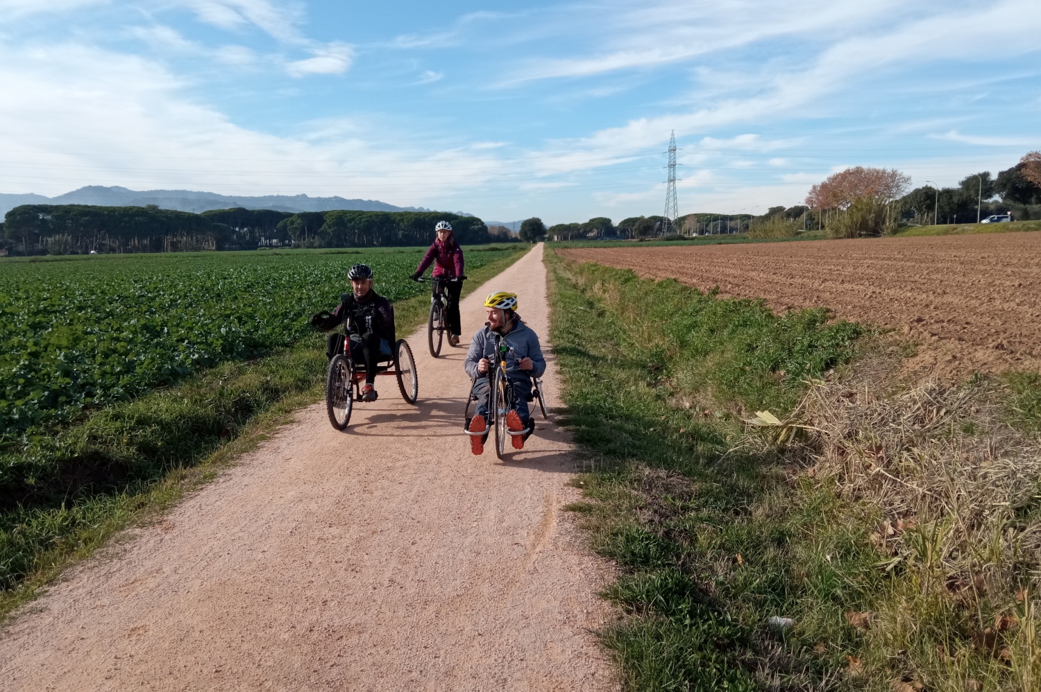
Carrilet II adapted route: from Girona to Sant Feliu de Guíxols
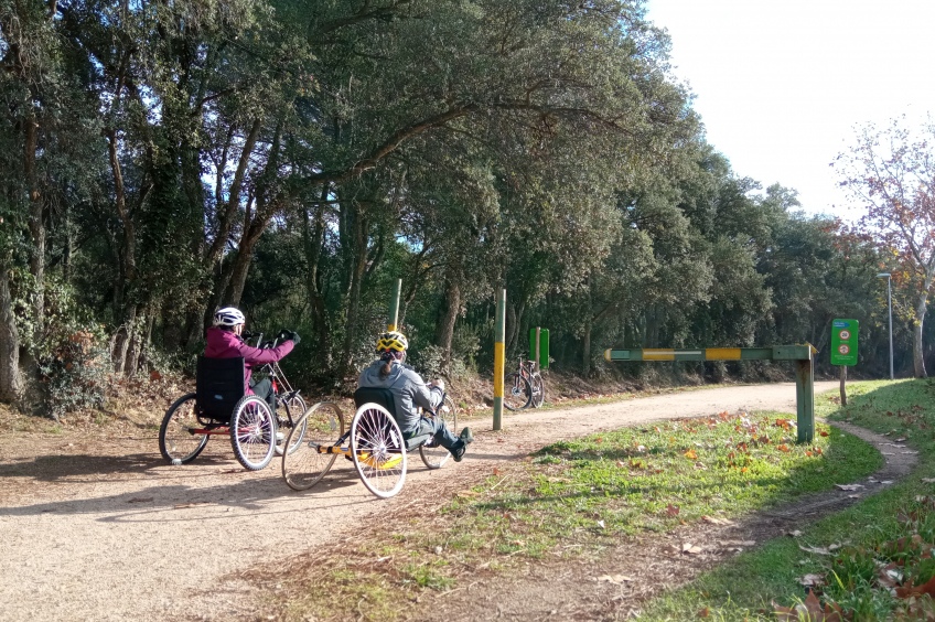
With almost 40 kilometers in total and a constant gentle slope from Girona to Sant Feliu de Guíxols, the Ruta del Carrilet transports us from the capital of Gironès to the Baix Empordà following what were once the tracks of the old train that linked these towns, from the Ter basin to the Ridaure valley, passing through the depression of the La Selva region.
- Difficulty: Easy. Very flat and without any technical difficulty.
- Distance: 39.7 kilometers
- Slope: 190 meters
- accessible route
Route's villages
The Carrilet II route starts at the Parque de la Devesa de Girona, crossing the entire urban area of the city and passing through some of the most emblematic points: Plaza de la Independencia, Calle Santa Clara, el Pont de Pedra, Plaza Catalunya, etc. We will continue following the bike path that will take us to the Emili Grahit roundabout, right next to the Faculty of Medicine of the University of Girona, in the Plaça dels Països Catalans. From there, we will continue to the left along the bike path towards Girona Este, following the Sant Feliu de Guíxols road (C-250), parallel to the Onyar River until we reach the Technology Park. This section of bike lane is a section shared with blind or visually impaired people.
Following the indications of the bike lane, we will advance along a path that passes between reeds until we reach a farmhouse, which will be on our right hand side. From this point, we will continue along a paved section that passes under a bridge and we will continue straight on, avoiding taking the detour that goes up to the left. We will cross an iron bridge and continue along trails enjoying a rural landscape of crop fields until we reach the bike path again that will lead us to Quart. From there we will continue along a small urban stretch to a road junction that connects with the original route of the train.
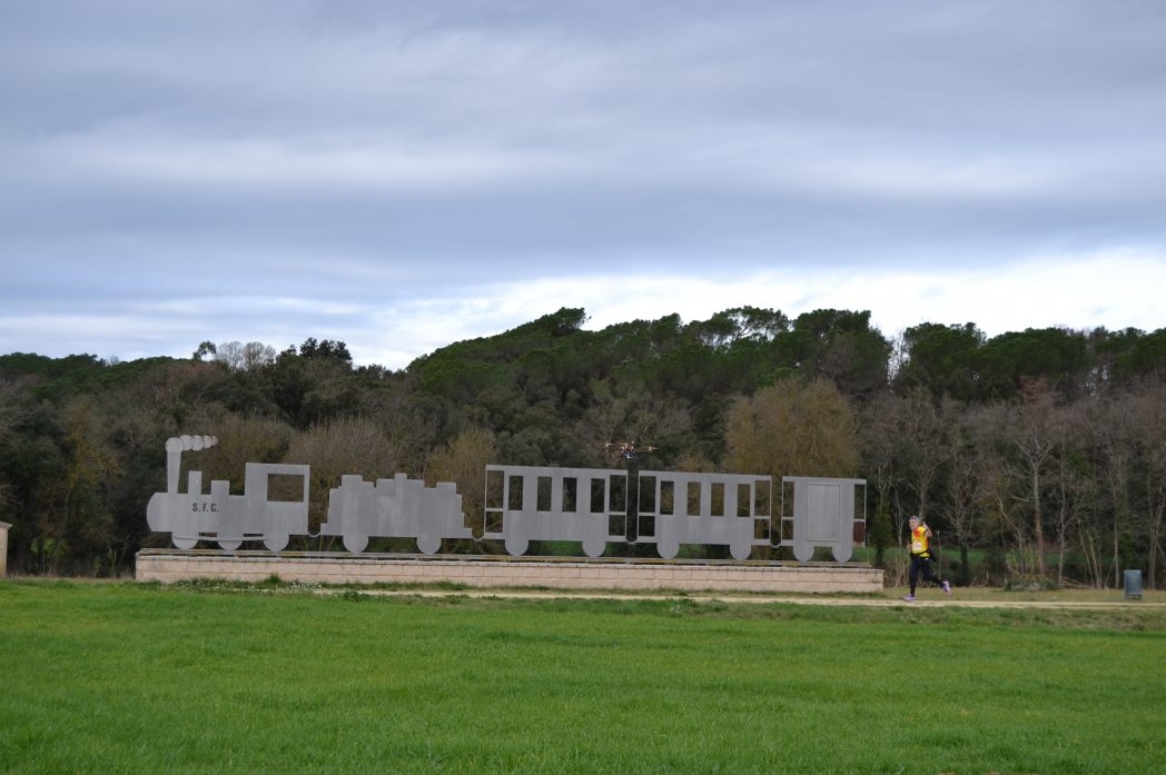
We will cross the Corb stream and continue straight on until we reach the old Llambilles station, where there is a reproduction of the Feliuet. From here, the route continues its passage under a pleasant grove that in months of more sun will protect us from the heat.
Leaving the Can Torrent area behind, we will continue until we reach the Cassà de la Selva industrial estate. We must bear in mind that before arriving, we will find a couple of slopes, one with sand and one paved, where help may be needed to be able to climb it. Once in the polygon, the route is crossed by a green bike lane on the sidewalk that will give us access to the center of the nucleus. As it passes through the center of town, the lane becomes a street that leads to an embankment where the road had clearly passed. To continue with the accessible route, we will leave Cassà de la Selva from the Pont d'en Barrina, above the Cassà de la Selva variant, where a fairly steep descent begins until we reach flat terrain again.
A few kilometers further on, just before entering Llagostera , we will find an ascent and immediately a descent in which we recommend help to traverse them. Arrived at the Llagostera station, located next to a park, you can take the opportunity to make a rest stop if you need it.
We will now be in the second part of the route that runs through the entire Ridaure valley, which separates the Cadiretes massif from the Gavarres massif and which, with a slight slope, connects with the sea.
Returning to the route again, we will climb a new section of the Vía Verde that will allow us to continue without problems. From here you reach the road junction with the C-250, which crosses under one of the road branches. A little further on, the track separates from the road to the left, beginning the section that, ending at Font Picant, is undoubtedly the most beautiful of the route.
The road runs to Santa Cristina d'Aro, and continues to the Castell - Platja d'Aro station along a section parallel to the asphalt, but well separated from cars. After the station, the road turns south, crossing the Ridaura and the C-31 road towards Palamós. We will then pass through gentle slopes of Puig del Molí de Vent and Puig de les Baterias to finally head towards Sant Feliu de Guíxols, the birthplace of the place name “Costa Brava” and the final stretch of the journey. Due to the relief of the urban center of Sant Feliu de Guíxols, at some points of the route it is advisable to go with help.
Text and images: Girona Greenways Consortium
Adaptation: femturisme.cat

What to do
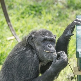
Fundació Mona
Riudellots de la Selva (a 4.5 Km)The Mona Foundation is a non-profit entity created to put an end…
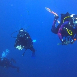
Triton Diving Llafranc
Palafrugell (a 13.6 Km)The center is located about 100 meters from the beach and the…
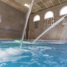
1881 Hotel Balneari Vichy Catalan
Caldes de Malavella (a 7.5 Km)The bicarbonated and sodium thermal waters of the Vichy Catalán Spring emerge…
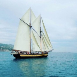
Sailing Boats and Events (Goleta Äran)
Palamós (a 5.4 Km)Experience the experience of sailing on a historic vessel. Daily departures from…
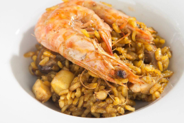
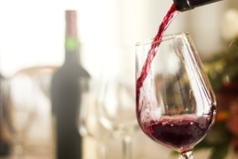
Where to eat
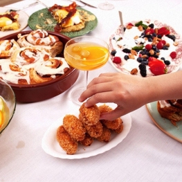
L'Espai Gastronomia
Tossa de Mar (a 11 Km)Enjoy a place where laughter, festivity, and gastronomy unfold around a large…
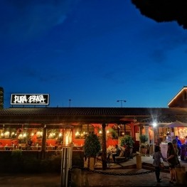
Pura Brasa
Pineda de Mar (a 27.4 Km)A unique gastronomic experience: Pura Brasa is a friendly and fun concept…
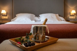
Where to sleep
1881 Hotel Balneari Vichy Catalan
Caldes de Malavella (a 7.5 Km)The bicarbonated and sodium thermal waters of the Vichy Catalán Spring emerge…
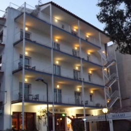
Hotel Miami
Tossa de Mar (a 10.7 Km)Hotel Miami, managed by the Vila family, combines a family atmosphere, a…
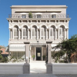
Hotel Casa Vincke
Palamós (a 5.8 Km)In the emblematic Vincke de Palamós house and a few meters from…
La Plaça de Madremanya
Madremanya (a 10.8 Km)Hotel in an old farmhouse s. XIV-XV located in the center of…