Route of the Fountains and Verlets in Sant Joan les Fonts (accessible)
Sant Joan les Fonts is a municipality in the region of La Garrotxa formed by three population centers: La Canya, Begudà and Sant Joan les Fonts, which gives its name to the municipality.
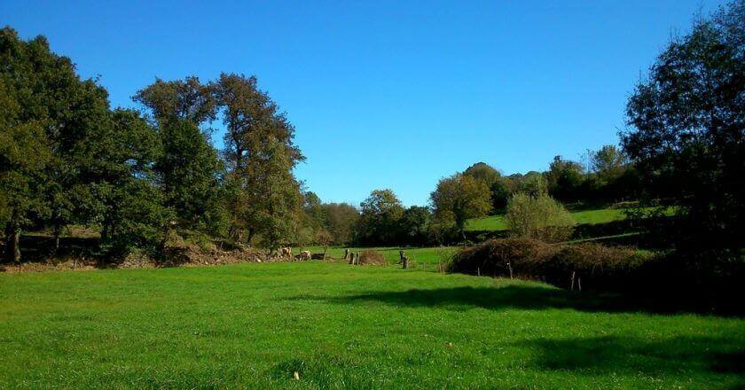
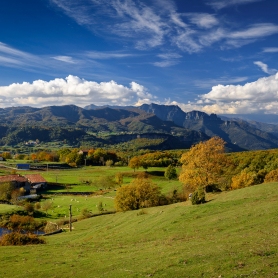
In the municipality you can make several routes to discover the environment, among others, the Route of the Fountains and Verlets, recovered pathways that pass through a wetlands and fountains area.
Then we propose the accessible route with the help of this route. You can also find information on another route of the Route of the Fountains and Verlets that passes through the Canya volcano.
This route is included in the network of Itinerànnia trails and marked with vertical and horizontal signals that inform about the distance and approximate duration of the sections.
The route is circular and you can start next to the Fuente de Rompuda, where you can find a parking area and a sign where all the information of the route is detailed.
The route is marked with yellow markings . The marks are placed, approximately every 300 meters and are painted with paint on bark, stones or taking advantage of other support that is already implemented in the area. In addition we will find vertical signaling at the crossroads.
At the junction between Calle de la Rompuda and Calle San Pedro we find the information post; We continue in the direction of Fuente de Can Xervanda, where a few meters away we find a new indicator, and turn left onto Marc Marunys street , where we immediately find another indicator that will take us to the F uente de las Mulleres, turning right.
The road passes through a very quiet rural road between manors and fields, then we find two crosses, where you must always follow the direction to the Fountain of Mulleres.
A few meters after passing through the last intersection we find the Fuente de las Mulleres and, after a few more meters, a sign indicating the route of the Fuentes and Verlets that makes us leave the paved road. This section is the least accessible of the route, until you reach the next junction.
We arrive at the next intersection, and return to recover the road; following in the direction of the source of the Rompuda, which we will find indicated in the following indicator.
From this point we can return to the starting point of the route.
Source: Garrotxa Tourism

What to do
Apartaments Entre Volcans
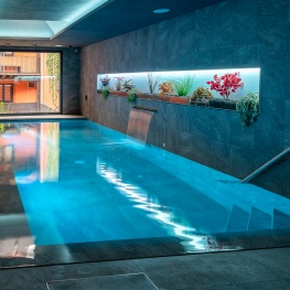
Olot (a 3.6 Km)Modern and well-located accommodation in Olot, with an indoor pool and spa…
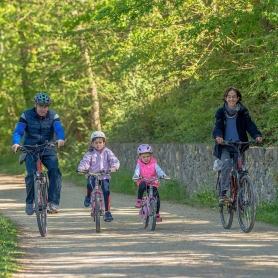
GARROTXA amb Bici
Olot (a 5.1 Km)GARROTXA amb Bici, (previously known as "Centre Logístic de Bicicletes") is a…
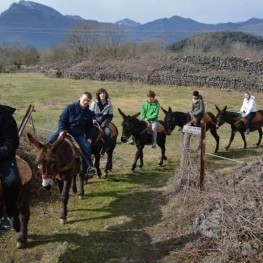
Rucs i Someres
Les Preses (a 6.9 Km)Rucs i Someres is dedicated to organizing tourist rides on Catalan donkeys…
Where to eat

Braseria Les Comes
L’Esquirol (a 21.7 Km)Located on the premises of the Anigami Adventure Park, they offer menus…
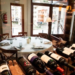
Restaurant el Pont 9
Camprodon (a 16.4 Km)A restaurant serving humble and simple cuisine, where you can enjoy the…
Where to sleep
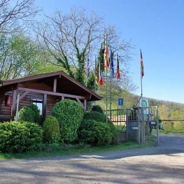
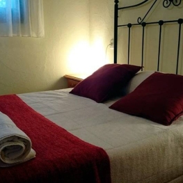
Càmping les Preses Natura
Les Preses (a 9 Km)Camping Les Preses Natura, located in the Natural Park of the Volcanic…
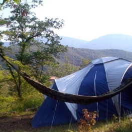
Càmping la Fageda
Olot (a 6.3 Km)The bungalows consist of two bedrooms, a bathroom with shower, a fully…
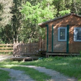
Can Banal Natural Càmping
Montagut i Oix (a 6.6 Km)Can Banal is as much a campsite as it is a hostel…
Càmping Besalú
Besalú (a 14.5 Km)Campsite located in the town of Besalú, very close to the mountain…