Route through the Bajo Ter
The route allows us to cross the lower part of the River Ter, which over time has generated spaces of great environmental value, today protected by the different administrations. Riding a bicycle through the natural spaces of the Gola del Ter, the Platera or the Ter Vell will give us a perspective of the coastal vegetation and the fauna typical of the maritime-terrestrial areas.
The route basically follows the Cycle Tourism Network and, therefore, we will find the signage of the bicycle pictogram.
data sheet
- Point of departure and point of arrival: From the Tourist Office of I'Estartit, located on the promenade.
- Mileage: 17.8km
- Effective walking time: 1h 10 min
- Total approximate time: 2 h 45 min
- Effort / difficulty: low
- Signage: The route basically follows the Cycle Tourism Network and, therefore, we will find the bicycle pictogram signage
- Observations and recommendations: We recommend that you access the center of Torroella de Montgrí to visit the Montgrí Museum and Baix Ter.
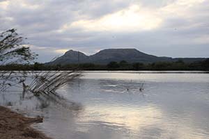
The Baix Ter
The Baix Ter plain is bounded to the north by the Alt Empordà and the Montgrí massif, to the south by the first buttresses of the Gavarres and the Begur mountains, to the west by the Valldevià mountain range and to the east by the Mediterranean. The plain has been formed by the alluvial sediments contributed by the Ter and Daró rivers and by various streams. The area has undergone recent alterations by man, such as the diversion of the course of the river and, therefore, of its natural mouth or the drying up of a large part of the flooded land to be used for agricultural purposes.
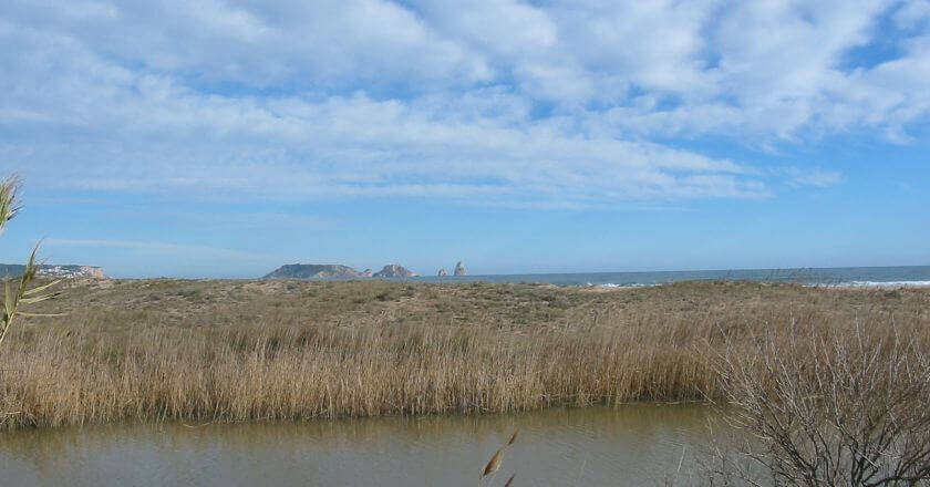
The Gola del Ter
 Until man intervened in its course in medieval times, the river Ter flowed into two main branches, one at La Escala and the other at El Estartit, in a place called Ter Vell. Once diverted and channeled, the river currently flows into the place called the Gorge. The canalization of the 19th century, which took it almost straight from the Torroella bridge to the sea, allowed the use of land. The Gorge does not always have the same shape, nor is it exactly in the same place, since the river itself, depending on its flow and the materials supplied, modifies it.
La Platera and Ter Vell
The protected areas of La Platera and Ter Vell are located in a highly urbanized area. Since they became part of the PEIN Aiguamolls del Baix Empordà, an important campaign for the recovery and protection of this environment has been launched from different areas. Several projects have served to reorganize the lagoons, recover the ponds and flooded areas, prevent access to road traffic and develop a project to recover the fartet (Lebias ibera), a small fish that lives in the coastal lagoons such as the Fray Ramon raft.
Source: Baix Empordà Regional Council

What to do
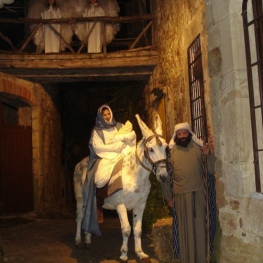
Pessebre Vivent de Pals
Pals (a 7.9 Km)The Living Nativity of Pals goes beyond its religious meaning and has…
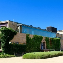
Castell Gala Dalí Visita Guiada
La Pera (a 12.3 Km)Enter a world of romanticism and surrealism and enjoy a unique cultural…

Circ Raluy
Palafrugell (a 14.9 Km)Discover the Raluy Circus and experience an unforgettable and enriching experience, culminating…
Where to sleep
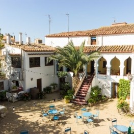
Hotel Molí del Mig
Torroella de Montgrí - L'Estartit (a 1.5 Km)We are an old mill of the 15th century restored by the…
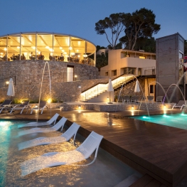
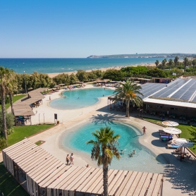
Talaia Plaza EcoResort
Begur (a 10.5 Km)Live a luxury experience in direct contact with nature at Talaia Plaza…
Fonda l'Estrella
Palafrugell (a 14.3 Km)La Fonda la Estrella is a? "bed & breakfast" quiet and cozy,…
Camping Bungalow Resort & Spa La Ballena Alegre
Sant Pere Pescador (a 12.4 Km)At Camping Ballena Alegre we have a spa where you can enjoy…