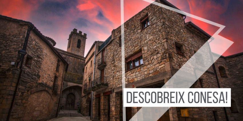
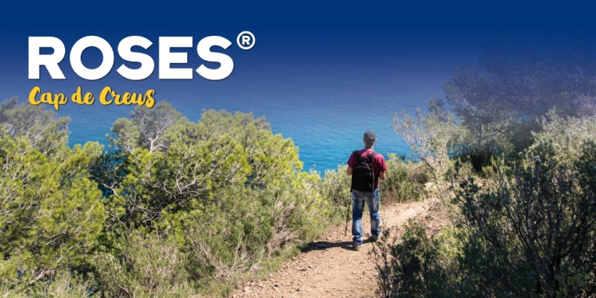
Route through the Baix Camp
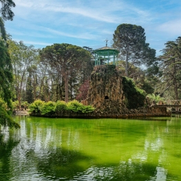
The Baix Camp hides four small countries side by side, four well differentiated landscapes with a thousand and one mountains that constitute a natural amphitheater overlooking the sea: the rocky Mediterranean mountain of the Sierra de Llaberia, with the mysterious legend of the Dips, the roads of the Barony of Escornalbou, crowned by the castle, the plains cultivated with hazel trees, olive trees and almond trees between small forested hills or the pure nature in the Prades Mountains, with a top of more than 1,000 meters high.
We propose a six-day route to cross the Baix Camp road network, from south to north, enjoying the landscape, the towns, the gastronomy and, in short, everything you find in its path.
Route's villages
first day
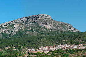 The route begins in the land of the Dips, the vampire dogs, in the Sierra de Llaberia. The route proposed for this first day is as follows: Pratdip, Solans, Miranda, Mola and Colldejou. Arrived at Colldejou we will have walked 16.5 km, with an accumulated ascent of 950 meters.
Roads of the Baron of Escornalbou
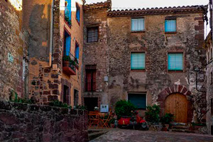 On the second day of the route we will travel the paths of Baron de Escornalbou. So, the route will leave Colldejou to go to the Wind Farm. From here we will go to the Argentera, Castillo and Vilanova d'Escornalbou.
Land of hazel trees
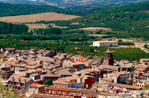
Arrived at the equator of the route, in this day we will travel the land of the hazelnut through the municipalities of Vilanova d'Escornalbou, Botarell and Riudecols. The distance of this stage is 13.5 km, with an ascent of 150 meters.
fourth day
 The fourth day will be the day that we will travel a distance and larger slopes, a total of 17.8 km, with an ascent of 1,000 meters. From Riudecols we will go to Puigcerver, Alforja and Arbolí.
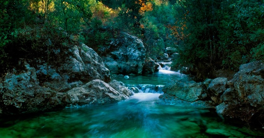
Siurana river
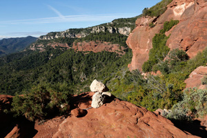
The Siurana river valley is pure nature and will surprise you! From Arbolí we will climb towards Mussara to finish arriving at La Febró. This route has a distance of 15.9 km, with an ascent of 350 meters.
Mountains of Prades
 The adventure comes to an end making the top in the Prades Mountains. The route of the sixth and last stage is La Febró, Prades, Abellera and Capafonts. The distance is 11.1 km, with an ascent of 400 meters.
You may also be interested in: Walking routes in Catalonia | Go hiking and get to know Catalonia on foot
What to do
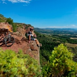
Muntanyes de la Costa Daurada
The municipalities of the Costa Daurada Mountains make up a territory of…
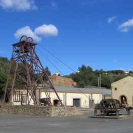
Museu de les Mines de Bellmunt del Priorat
Bellmunt del Priorat (a 12.5 Km)Come visit the Bellmunt del Priorat Mine Museum and enjoy the opportunity…
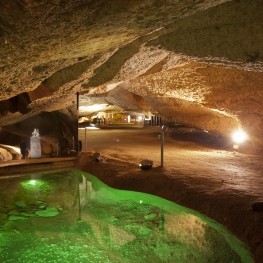
Coves de l'Espluga de Francolí
L'Espluga de Francolí (a 12.9 Km)The Espluga de Francolí Caves are a gateway to our country's geological…
Where to eat
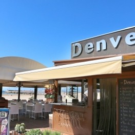
Restaurant Denver Cambrils
Cambrils (a 10 Km)From the legendary Xiri to the current restaurant, Denver offers a creative…
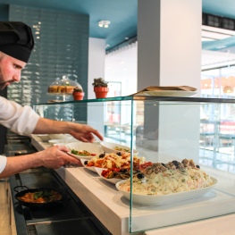
Arena Tapas Restaurant
Salou (a 13.8 Km)Enjoy an innovative cuisine, with high-quality local products of proximity, with an…
L'Orangerie de Clos Barenys
Vila-seca (a 10.9 Km)Under our fires, we prepare haute Mediterranean cuisine by selecting the finest…
Iberik Rocallaura Balneari
Vallbona de les Monges (a 25.2 Km)Iberik Rocallaura Balneari is located on the Cistercian Route, in the municipality…
Where to sleep
Càmping La Llosa
Cambrils (a 9.1 Km)We address a family audience, that's why we have been awarded the…
Càmping Cambrils Caban
Cambrils (a 11.7 Km)Family campsite in the heart of the Costa Daurada. Located between Cambrils…
Hotel Sant Jordi
Montbrió del Camp (a 2.1 Km)Located in the town of Montbrió del Campo, Tarragona province, this hotel…

Magnolia Hotel
Salou (a 14.1 Km)Magnolia Hotel Salou is a four-star superior, adults-only establishment located 50 metres…