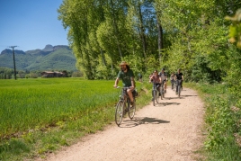
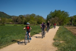
Circular route of the Bisaroques volcano and Tries fountain
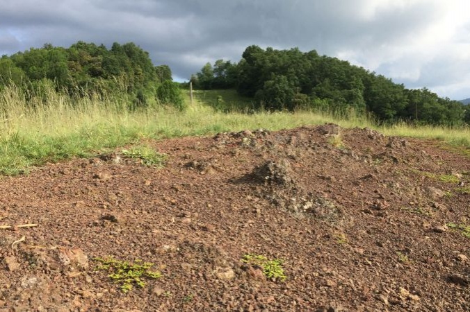
Although its unique horseshoe shape does not allow us to easily identify it as the crater of a volcano, the black, brown and reddish colors of the volcanic soil will help us to do so. The Bisaroques volcano is the smallest of the four volcanoes found in the city of Olot, so we bring you this route so that you can enjoy this volcanic landscape while you make your way to the Font de les Tries
- Difficulty: Medium. Without technical difficulty but with some sections of pronounced ascent
- Distance: 7.8 kilometers
- Time: 2 hours and 20 minutes
- Elevation: 249 meters
We will start the route at the intersection G22 Puente de les Mores in the direction of Triai, where we will find the intersection O1 rec del Revell and we will go in the direction of the hermitage of San Sebastián. After the hermitage, we will follow the Santa Pau road and cross it to continue along the Montaña de Piedra Aguda street, which belongs to the Benavent neighbourhood. When the street ends, we will turn towards the Volcán del Traiter street and we will find the Itineránnia G162 Benavent post, which will indicate that we are going up the old Batet road.
At this point we will leave the paved road behind and begin to climb a dirt road with crop fields and orchards on both sides; We will continue straight until the O2 intersection of the old Batet road, where we will turn left. We will walk along a paved road until the yellow markings make us turn left to enter an oak grove and we will continue going down until we reach a clearing. This will mean that we will have already reached the Bisaroques volcano.
From Bisaroques we will see the cone (it is the hill on the right) but not the crater, since it was deformed by the lava flow that originated after its explosion.
After the volcano, we will continue straight ahead and go down parallel to the side of the power line until we reach a paved road, where we will turn right to then find the O3 junction, which will take us to the Salut fountain. Once at the fountain, we can stop to cool off and enjoy the surroundings.
Next, we will cross a ditch that only carries water in times of heavy rain and we will continue following the yellow marks until we find post G183 Bajo Fuente de la Salud, which will make us turn right to go in the direction of Chalet de las Tries. We will follow this path through a forest of acacias, elders, oaks, holm oaks and some chestnut trees. We will walk until we find post O4, which is at the foot of the Chalet. This stands out for the white walls and the green glazed roof. At this point we will turn to the left to start a slope of descent towards the source of the Tries.
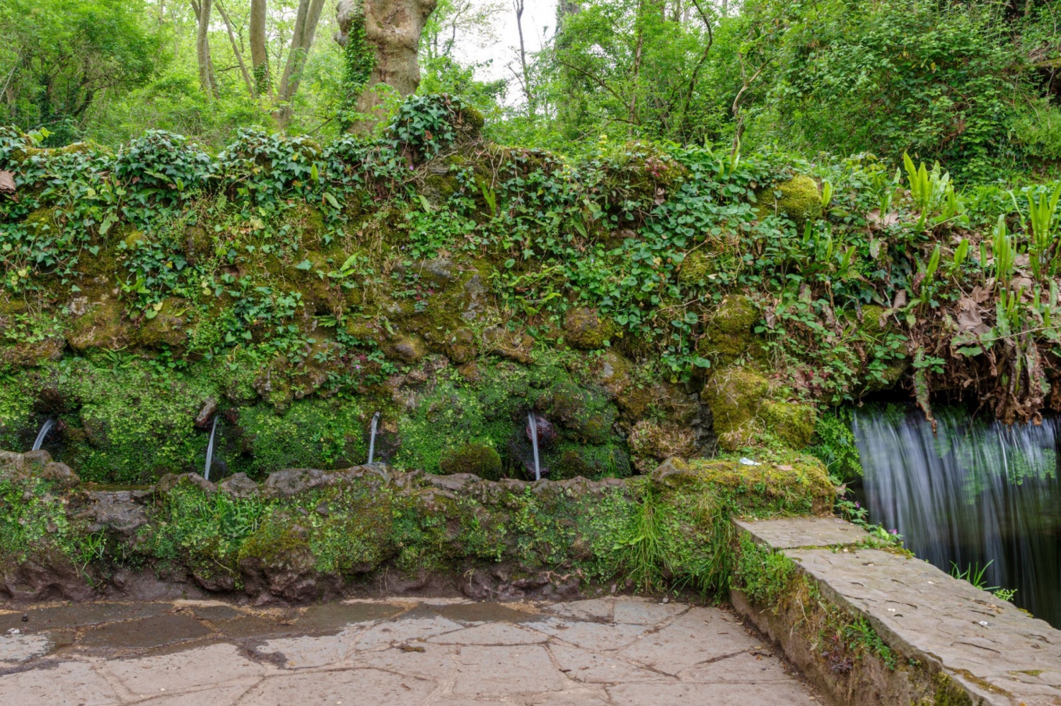
We will go down a narrow path and come to a clearing. Afterwards, we will continue the path to the left until we come face to face with the Tries fountain, which represents a symbol among the locals thanks to the history of its waters, considered by many to be miraculous and with multiple benefits for the kidneys and pain. of stomach. It is a fountain that stands out for its different water jets and a waterfall that drops to more than 100 liters per minute. Looking at the fountain, on the left, we will see an engraved Virgin of Remedy, the work of Joan Roqué i Cargol.
With the fountain behind us, we will turn sharply to the left and continue along a path that follows the left bank of the Fluvià river. We will pass by the Tries football field and continue to an abandoned house, known by the name of Molí de la Torre. There we will find a small bridge through which we will have to cross the river. Then, we will continue our march along the right bank of the Fluvià to the Parque de los Nius, where we will go from the dirt road to the asphalt. At this point, we will cross the Fluvià again over the Vial de Sant Jordi bridge. Next, we will turn right onto Terrassa street and, past Can Collell, following the yellow markings, we will turn right and take the path that runs along the river. At the end of this road we go up the stairs and arrive at the Miquel Martí Pol park, where we will find the O5 junction, we continue along the river until we cross the Santa Magdalena bridge.
After the bridge, we turn left, always close to the river until the Ronda de los Paraires, where the bus station is located. We will continue along the Ronda de los Paraires which, after a while of walking, becomes the Ronda del Fluvià and, further on, the Avenida de Extremadura, until we reach the Parque de les Mores, the starting and ending point. of that route.
Text and images: Olot City Council
Adaptation: femturisme.cat

What to do
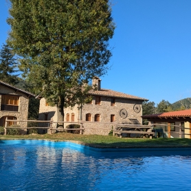
Apartaments Entre Volcans
OlotModern and well-located accommodation in Olot, with an indoor pool and spa…
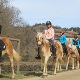
Granja de cavalls i ponis, eQuillet
La Vall d'en Bas (a 6.3 Km)At the eQuillet Equestrian Club, we offer a wide range of activities…
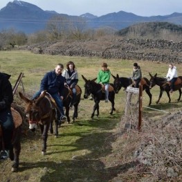
Rucs i Someres
Les Preses (a 3 Km)Rucs i Someres is dedicated to organizing tourist rides on Catalan donkeys…
Where to eat
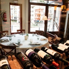
Restaurant el Pont 9
Camprodon (a 17.6 Km)A restaurant serving humble and simple cuisine, where you can enjoy the…
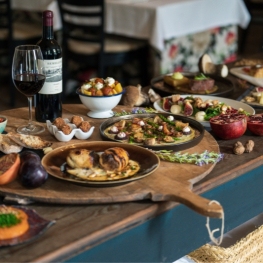
La Santa Restaurant
Ribes de Freser (a 29.8 Km)Our fires cook KM0 food obtained from the earth using traditional methods.…

Braseria Les Comes
L’Esquirol (a 17.7 Km)Located on the premises of the Anigami Adventure Park, they offer menus…
Where to sleep
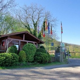
Càmping les Preses Natura
Les Preses (a 5 Km)Camping Les Preses Natura, located in the Natural Park of the Volcanic…
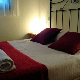
Càmping la Fageda
Olot (a 3.6 Km)The bungalows consist of two bedrooms, a bathroom with shower, a fully…
Apartaments Entre Volcans
OlotModern and well-located accommodation in Olot, with an indoor pool and spa…