Circular route through the Peñas Altas del Moixeró through the Canal de la Serp
Often overshadowed by its higher neighbors (Cadín and Tosa de Alp), Moixeró is a mountain range that we have crossed many times through the Tunnel, but it is well worth discovering from above. A route with a demanding unevenness and fantastic views of Alt Berguedà and La Cerdanya.
Difficulty: Medium. No technical difficulty but a significant unevenness.
Elevation difference: 1377 accumulated meters of ascent.
Time: between 5 and 6 hours.
Kilometers: 14 km.
Variants: The Peñas Altas can also be done from the north slope, through La Cerdanya. Apart from this, you may find that on the way down, from the "Rocas Negras - fork" waypoint, you take the path to the right and go down the Coll d'Escribe. Likewise, the Moixeró can be followed with the Cavalls del Vent route or a circular route can be made towards La Tosa or up to Coll de Jou with a much longer route.
We leave from the junction of the Coll de Pal road with the forest track that goes up to the town of Gréixer. This track is closed to traffic and for this reason we will have to start from the Coll de Pal road.
We begin by going up this track until we reach the vicinity of Gréixer in a matter of 10-15 minutes. As you will see, it is a very small nucleus with four houses and a church dedicated to Sant Andreu. We follow the track there until we find a signpost (GR Deviation waypoint) where we take the path to the right and pass over the nucleus of Gréixer.
Shortly after, we take the path that goes up towards the Canal de la Serpiente (indicated). It is marked with traces of yellow paint and quite a few milestones, so we don't have any risk of making a mistake. We started to climb decisively and we will go up constantly throughout the route.
First we will pass through a stretch of Scots pine forest. After about 10 minutes, we come to a rocky area where the path turns to the right and winds its way up this stretch of rock. If you are following the milestones, there is no loss, but you can go up where it suits you best. After this point we will find a young oak grove, where we can check the unevenness gained.
The path goes up, without truce and we gain altitude in a short time. At this point, the path narrows towards the Canal de la Serpiente. At the bottom of this hole, the first beech trees of the Hayeda del canal de la Serpiente begin to appear. When we arrive at the canal, we begin to meander (never better said), along a path that gradually overcomes the steep slope with small loops. Up to here we will take about 3 kilometers and about 500 meters of unevenness.
At the end of the Canal de la Serpiente the path turns east and crosses a small scree. After gently leveling out, the path climbs uphill again until it comes under the large rocks of Peñas Altas del Moixeró. At this point it will be inevitable to raise your head to contemplate this stone spectacle.
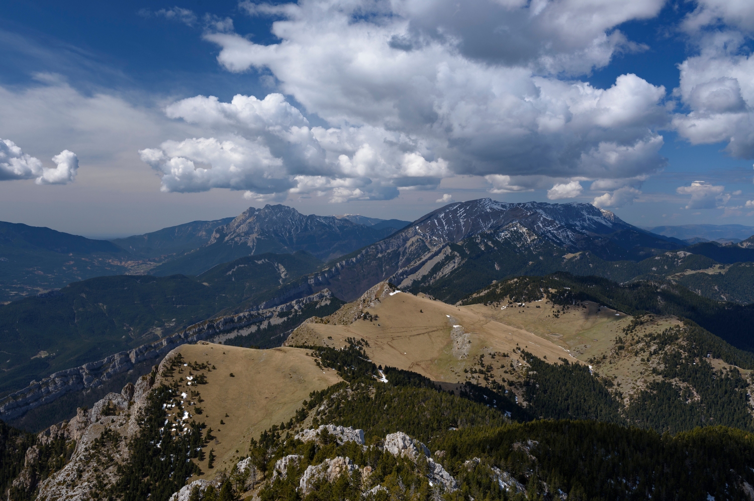
We cross the scree again at the top. If we look to the right, over the cliffs we will see a curious rock bridge. Ahead, we can clearly make out the grassy neck to which the path leads: the Raset pass. To win it, the path winds between meadows until it reaches the Raset pass (2056 m) from where we will see La Cerdanya for the first time on the route.
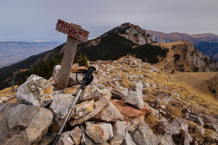
From here, we take the GR 150-1 to the right, following the Moixeró crest in the direction of Peñas Altas. This section is also where the Cavalls del Vent pass. The path begins flattening but later on it goes up again and goes up an easy climbing section. We continue up and face the final part of the ascent with a slightly straighter climb but that we can overcome without much difficulty. Finally, we reach the landing at the top of Peñas Altas, where we will enjoy a fantastic panoramic view on all 4 sides.
We go down the same path until we return to the Raset pass. From here, we follow the clear path of cows through the meadows of Pla de Moixeró. The peak of Moixeró stands out to the left of the meadow. It is only necessary to deviate from the path to easily crown this peak that gives its name to the mountain range.
We descend from Moixeró and we can do it directly along the crest, until we find Coll de Moixeró. At this point, we will cross a fence and take the path that goes down towards the Berguedà slope in a southeasterly direction (we will clearly see a path that goes down to the left). From here we will follow red markings until the Rocas Negras fork.
We begin a steep descent through an area with a steep drop in level and a wide range of views towards the bottom of the valley. The path winds down in some places and is a bit worn, but we can do it without suffering. After a while, we arrive at the Cabrera pass, after a short climb. We cross the neck, we follow the red marks and now we go down hard through an area of pines and oaks meandering. The path can be blurred by the leaves of the oaks, but if we follow the most obvious point, there is no loss.
After passing under a fallen pine in the shape of an arch, we come to a small landing where we find the detour of our path. If we continued in a southerly direction, we would go to the Escriu pass, but we turn left, leaving the red marks and following a path that goes down steeply accompanied by several milestones.
After a while, the path plans to find the Font de la Cabrera, a point where we can drink water. We continue forward to the Avet pass and continue gliding gently downhill, while the impressive walls of Moixeró rise above us. The path will find an old forest track that will make us lose unevenness with wide loops until we reach the bottom of the valley.
Once down, we only need to continue the track to Gréixer, at the fork at the beginning and finish undoing the route to the car, in an original circular path and with a considerable unevenness through the Sierra del Moixeró.
Authorship photographs and text: Sergi Boixader
You may also be interested in: Walking routes in Catalonia | Go hiking and get to know Catalonia on foot
What to do
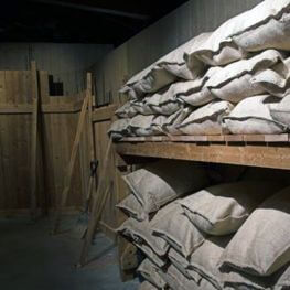
Mina de petroli dels "Francesos" de Riutort
Guardiola de Berguedà (a 13 Km)Located within the perimeter of the Cadí-Moixeró Natural Park, it is one…
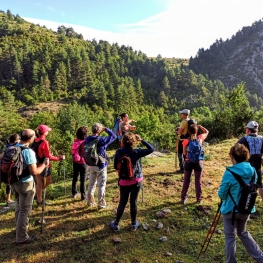
Penyes Altes Outdoor Services
Bellver de Cerdanya (a 2.1 Km)Discover new places and new adventures with the help of our team…
Parc dels Búnquers de Martinet i Montellà
Montellà i Martinet (a 11.6 Km)The memory space and Interpretation Center of the Park of the Bunkers…
Encamp (Parròquia)
(a 29.1 Km)The parish of Encamp stands out for its architectural and cultural heritage.…
Where to eat
El Recó de l'Avi
Guardiola de Berguedà (a 13.1 Km)Typical homemade cuisine, with oak-grilled meats, a wide variety of tapas and…
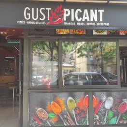
Restaurant Gust Picant
Berga (a 27 Km)At Gust Picant, you can enjoy affordable menus with a wide variety…
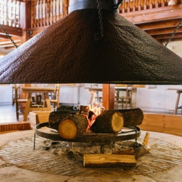
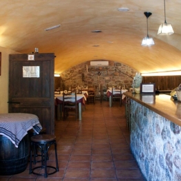
Restaurant Apartaments Els Roures
Castellar del Riu (a 25.9 Km)Rest, charm and good cuisine, a unique space located in Berguedà, at…
Hostal la Muntanya
Castellar de n'Hug (a 17.2 Km)Family hostel located in Castellar de n'Hug. It offers various accommodation options,…
Where to sleep
Cal Mateuet
Lles de Cerdanya (a 11.9 Km)The Cal Mateuet rural house is located in Cerdanya, in Travesseres, a…
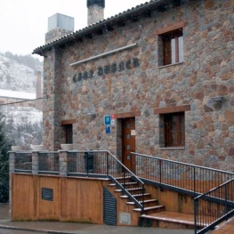
Hotel Casa Duaner
Guardiola de Berguedà (a 13.1 Km)The Casa Duaner Hotel in Guardiola de Berguedà offers modern facilities, a…
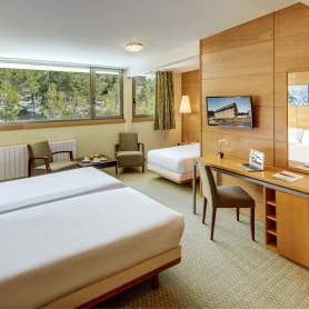
Hotel & Spa La Collada
Toses (a 9.6 Km)Hotel & Spa La Collada, a 4-star hotel with 90 rooms located…
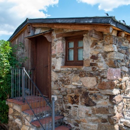
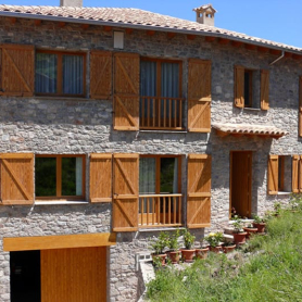
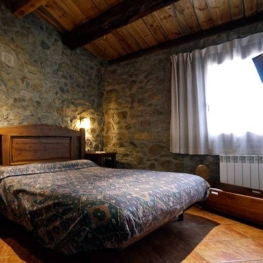
Refugi de Talltendre
Bellver de Cerdanya (a 8.1 Km)Enjoy a fantastic getaway with your partner, family or friends at the…