Route along the PR C-93 Trail of Santa Eugènia de Berga
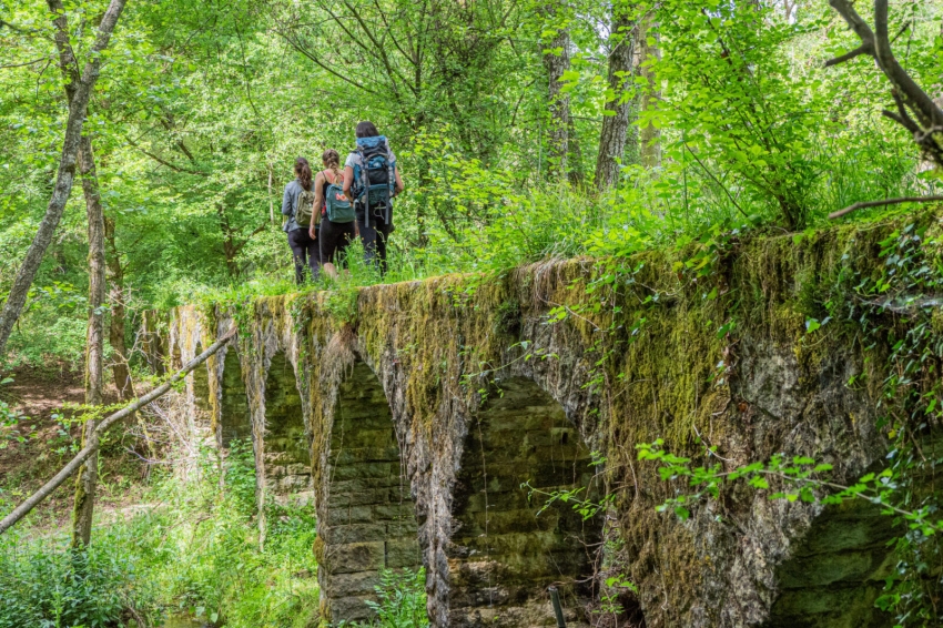
The PR C-93 trail, also known as the "Camino de Santa Eugènia de Berga", is a hiking trail located in the town of Santa Eugenia de Berga, in the Osona region. This route runs through natural landscapes and offers panoramic views of the area.
The route of the PR C-93 trail is a circular circuit with an approximate length of 13 kilometers and is signposted with white and red paint marks, typical of short-distance hiking trails (PR) in Catalonia.
Data sheet:
- Length: 13.2km
- Time: About 3 hours
- Suitable for all audiences.
- It can be done on foot and by bicycle.
The tour begins at the Church of Santa Eugènia de Berga, located in the center of Santa Eugènia de Berga. So we can take the opportunity to contemplate its structure.
Church of Santa Eugènia de Berga
The Romanesque-style Church was enlarged during the 12th century, and subsequent reforms in 1664 modified its plan with the creation of two lateral naves. In the restoration of the year 1955, the chapels were demolished to return to their original structure.
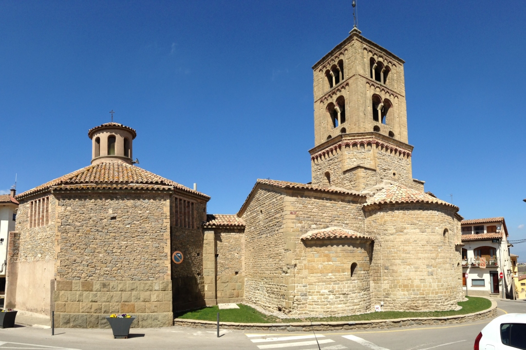
It has a Latin cross plan with a single nave covered with a barrel vault, covered by a transept where three semicircular apses open, whose altars are dedicated to Santa Cecilia (the one on the left), Santa Eugenia (the central one) and Santiago (the right one). At the intersection of the nave and the transept, a dome rises on tubes, forming a dome on the outside, with an octagonal base, on which rises a two-story bell tower with double windows in the first body and triple windows in the second. second.
The access portal stands out, on the west façade, with archivolts decorated with plant motifs and two pairs of capitals also sculpted.
Having seen the church, we begin our route along the path behind the church, which passes next to the Font Rodona.
The Round Font
In the Font Rodona, also called Santa Eugenia, we find an inscription in Latin, which translated would say: " I am a fountain of Santa Eugènia. Segimon Casanova, parish priest, made me in 1708. " Segimon Casanova i Riquer was parish priest of the town's parish between 1708 and 1732.
We take the road in a northerly direction until we reach some farms, and we turn right following a cart track from where we can see the Teuleria del Aimerich. We follow the cart path until we reach it.
Teulerie de l'Aimerich
La Teuleria de l'Aimerich is an old bóbila, an old weaving factory used to make tiles, which lost its function and was reconverted to masovería.
Its origin seems to date back to the mid-17th century, when the weaving industry grew in the area in the 20th century. You can see an old silo dug into the ground and used to knead the clay.
We return to a paved road that goes up towards the cemetery.
After the cemetery, we will leave the cart track to enter a path on the left that will take us to the Sala-d'Heures forest, of oaks and boxwood typical of the Vic plain, and then we will find the Font del Paradís.
paradise fountain
La Font del Paradís is a beautiful fountain built by the owner of the farm, between 1925 and 1935. The fountain, made of stone, is formed by a rectangular body, crowned by a semicircular structure. Being located at a lower ground level, the only access is by going down a dozen steps.
The water has a lot of lime, as proven by the calcareous formations that we see at the foot of the point where it emanates. Although the municipality is dominated by typical vegetation of sunny areas; Here the environment is humid, with a predominance of boxwood, moss, ferns...
We will take the path until we reach the Sala d'Heures plain, located next to the reservoir that collects water from the Vilalleons torrent and carried water from a canal to the Sala d'Heures manor house.
We will cross the reservoir dam and follow the white and red markings up the trail for a kilometer and a half, when we will arrive at the start of the Vilatorta airfield route.
Vilatorta airfield
The Vilatorta Aerodrome is the old civil war airfield that exists between the municipalities of Sant Julià de Vilatorta, Calldetenes and Santa Eugènia de Berga.
It is currently part of a 9km route where you can see different shelters, a powder magazine or an old hangar, among others.
You will find more information about the route at Tour of the Shelters of the Santa Eugènia de Berga Aerodrome.
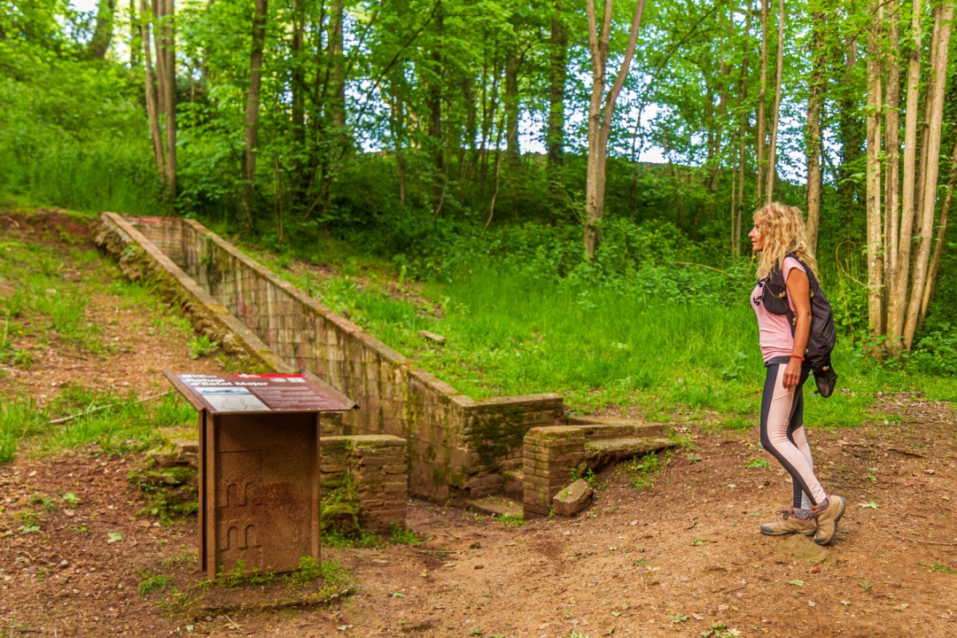
We will follow the white and red marks of our PR C-93 Trail. Along the way we will pass by the Refuge of the General Staff and by the Omeda, an old buried refuge from the Civil War.
At this point we will leave the cart track to take the paved road, which passes through Can Discorra (18th-19th centuries), a house whose circular water cistern stands out. Finally we will arrive at Sant Marc.
Sant Marc
Sant Marc is an old documented chapel from 1535, built on the border of the parishes of Santa Eugènia and San Martí de Riudeperes.
To the left of the chapel is a monument dedicated to the naturalist Félix Rodríguez de la Fuente, popularly known for his television programs on fauna.
We will follow the path down towards Calldetenes, before entering the municipality, we will find a crossroads with a cart track that passes by the houses of Can Co and Can Cruselles.
The return between farmhouses
We will pass behind Mas Mitjà, which has a chapel attached to the house, and we will continue until the junction with the Carretera de Vic in Santa Eugenia. We will continue along a path that begins between the new houses on the Isern and continues surrounded by fields.
After passing a few houses we will cross the river again, always following the red and white markings until we reach Cal Rei, a cow farm that can be visited.
We will cross the river again and leave it behind. Once we get back to the paved road, we will turn to the right following the cart track and we will come to a paved road that we will cross and pass by the Hostalet del Bulló side.
The name of Hostalet comes from the fact that there was a hostel and a grocery store. It was the first store in Santa Eugènia de Berga. We will follow the path surrounded by a small forest in the direction of the soccer field and we will cross the road towards the center of the town.
We will arrive again at the Church of Santa Eugènia de Berga where we will finish this beautiful circular route.
What to do
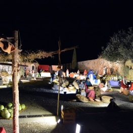
Federació Pessebres Vivents de Catalunya
Tona (a 7.2 Km)The Federation of Living Nativity Scenes of Catalonia is a non-profit cultural…
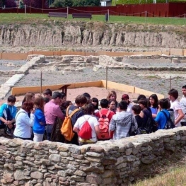
Centre d’Interpretació el Camp de les Lloses
Tona (a 7.4 Km)The Archaeological Park of Camp de las Lloses is made up of…
Where to eat

Braseria Les Comes
L’Esquirol (a 18 Km)Located on the premises of the Anigami Adventure Park, they offer menus…

La Calma, el Bellver
Tagamanent (a 16.3 Km)At the Masía Restaurante El Bellver, from 1:00 p.m. to 3:30 p.m.,…
Where to sleep

Hotel Can Pamplona
Vic (a 4.3 Km)Hoel Can Pamplona is a family-run Bed & Breakfast located just steps…

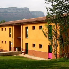
Casa de colònies El Company, Fundesplai
Vilanova de Sau (a 10 Km)Discover the El Company hostel, in the municipality of Vilanova de Sau,…
Casa de colònies La Cinglera, Fundesplai
Vilanova de Sau (a 11.7 Km)La Cinglera is located in the Vilanova de Sau municipality. It is…
Càmping El Pont de Barcelona
Vilanova de Sau (a 10.2 Km)The El Pont campsite is located in the heart of the Guilleries…