Route of the Plans
The route leaves from Montornès de Segarra and circulates through the various plains that border the valley of the Cercavins between north and south, passing through the municipality of Montoliu de Segarra and returning through the shady and plains to Montornès de Segarra.
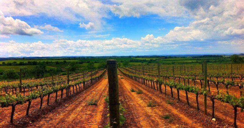
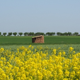
We can see terraces of vineyard, oaks, oaks, pines and cereal fields, wheat and barley mainly; also some steppe bird.
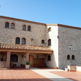
As cultural heritage is the modernist cemetery and the equally modernist schools of Montornès de Segarra, as well as the picturesque village of Montoliu. Before reaching Montoliu we can enjoy a beautiful viewpoint, where there is a picnic area .
Data sheet
- Difficulty: Low
- Route: 10.85 km
- Starting and finishing point: Montornès de Segarra
Source: www.lasegarra.org
You may also be interested in: Walking routes in Catalonia | Go hiking and get to know Catalonia on foot

What to do
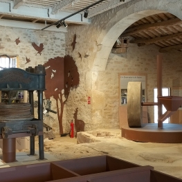
Espai Maldanell
Vallbona de les Monges (a 14.7 Km)Located in what was the first mill of the Vallbona farmers' cooperative…
Turisme Urgell
(a 9.1 Km)Urgell, an inland region, very accessible and well connected, where you can…

Mas de Colom, Casa Borges
Tàrrega (a 11.8 Km)The former convent and farmhouse are located on the Mas de Colom…

La Passió de Cervera
Cervera (a 8.3 Km)The Passion of Cervera is a theatrical representation of the life, death…
Where to eat
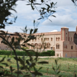
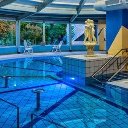
Iberik Rocallaura Balneari
Vallbona de les Monges (a 13.1 Km)Iberik Rocallaura Balneari is located on the Cistercian Route, in the municipality…
Where to sleep
Iberik Rocallaura Balneari
Vallbona de les Monges (a 13.1 Km)Iberik Rocallaura Balneari is located on the Cistercian Route, in the municipality…
La Torre del Codina
Tàrrega (a 5 Km)The Torre del Codina is located in the municipality of Talladell, municipality…
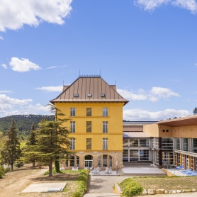
Hotel Balneari de Vallfogona de Riucorb
Vallfogona de Riucorb (a 3.2 Km)Enjoy the Hotel Balneario de Vallfogona de Riucorb, which has modern facilities…
Mas Baldrich / Petit Mas Baldrich
Querol (a 19.9 Km)Mas Baldrich is a typical Catalan farmhouse built during the 19th century,…