Puigmal via Fontalba and return via Núria (circular)
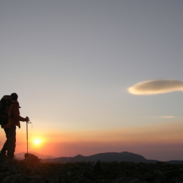
The ascent to Puigmal is one of the essential routes of the Catalan Pyrenees. One of the great classics, one of the peaks that every hiker in Catalonia will do or has done. The route is ideal both for beginners in this sport and for veterans, completing the ascent with the circular route to Núria and back to Fontalba. The views from the top to all four sides, the winds and mists that often overturn the Puigmal and the welcoming birthplace of Núria are the main attractions of this route.
- Difficulty: easy-medium. No technical difficulty. Anticipate that at the top or during the ascent there may be strong gusts of wind and/or storms.
- Unevenness: 1080 m of accumulated positive unevenness
- Time: between 5h and 6h30' depending on stops and pace
- Kilometers: 13.7km
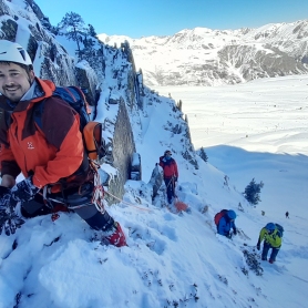
Variants: You can start the route from Núria, which is also one of the classic routes (on the path that we will go down). Another alternative would be to do it following the Olla de Núria (from 21 to 26km; +1700 to +2000m) and chaining up to 16 peaks. Finally, another alternative would be to do it from the Ceretanian slope, through the Er ski resort (ideal itinerary for winter with snowshoes/crampons). If you want more slope, you can start from Queralbs (+1800m).
We access the Fontalba strain passing by road to Queralbs. Once in this town, you will take the track that goes up to Fontalba. The first few meters are paved but it will soon become a long dirt track that climbs gently up to 2,000 metres. From there, Puigmal seems very close, but there is still a good climb to go! The track is generally suitable for passenger cars.
We leave the Fontalba car park and you will surely be amazed by the mountain environment that you will find: the coma and the Dou de Fontalba, a spring of water that is born at mid-height and that gives its name to the valley. Above, the Puigmal and to the left, the crest that we will follow: the Sierra del Borrut with the two antecimens before the Puigmal: the Cumbre de la Dou (2,457 m) and the Cumbre del Borrut (2,670 m).
Just before starting, you will see two paths: the one that goes to the right goes to the Fontalba fountain, which is where we will return. This is the path that goes to Núria (GR-11.8). Thus, the one you should take is the one that continues to the left, going along an old forest track and continuing towards the top.
You will face the first section of the climb (which in fact will be practically the hardest of the day) to the top of the Dou. The path goes from a forest track to a path and goes to look for the peak. Further up, it crosses the winding slope to go up the slopes of Solaneta de Fontalba to the top of La Dou.
You will have already reached the first threshold before the Puigmal. Now you will descend a few meters to the Coll del Borrut (2,442 m) and begin the ascent to the Cumbre del Borrut (2,670 m), careening through the mountain range of the same name. The road at all times is well trodden and wide so there is no room for loss.
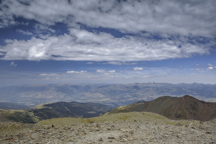
You will face the climb to the top of Borrut and, from this point, you will see what separates you from the top of Puigmal (in fact, if you look closely, you will see the small cross on the top left). What you will have left is nothing more than a climb up a rocky section with a steep slope. The path winds to smooth the climb and make it more bearable. In any case, the path is made without remorse: there are about 150 meters of unevenness until you reach the wide plain before the top. Once on this plane, you will only have to approach the Puigmal cross and climb the last few meters to the top, the highest in Ripollès.
The view from Puigmal is wide on all four sides: Cerdanya presides over the northern slope, with the peaks of Peric, Carlit and Puigpedrós. You will also perfectly see the rounded peaks of Tosa de Alp and Puigllançada, with Pedraforca and Cadí in the background. In the distance, on clear days, you can see the peaks of Berguedà, Montserrat and Montseny. And towards the Ripollès sector, practically the entire region can be seen: from Taga to Bastiments.
You will make the descent of the Puigmal in the direction of Núria through the Coma del Embut. The first section of descent is through a path with a steep slope. At this point you need to be alert not to slip. This section appears on the ICC map as "the Red Land", precisely in reference to the reddish color of the stone of this scree.
Once this slope is overcome, the path will cross the incipient torrent of Coma del Embut, at the point known as Fontalta. Now we go down the beaten path less right towards the Northeast by the LLis de la Coma del Embut.
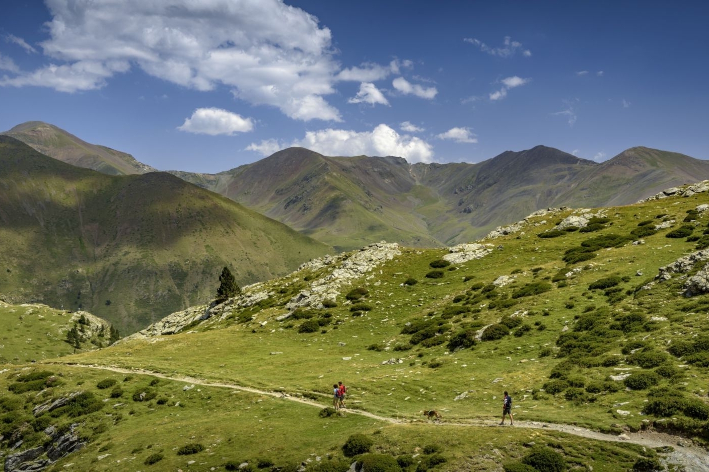
Further down, the path crosses the Coma del Embut stream again, now with a little more flow and you will turn east, descending towards Núria. In front of you, you will already see the upper part of the Núria ski slopes.
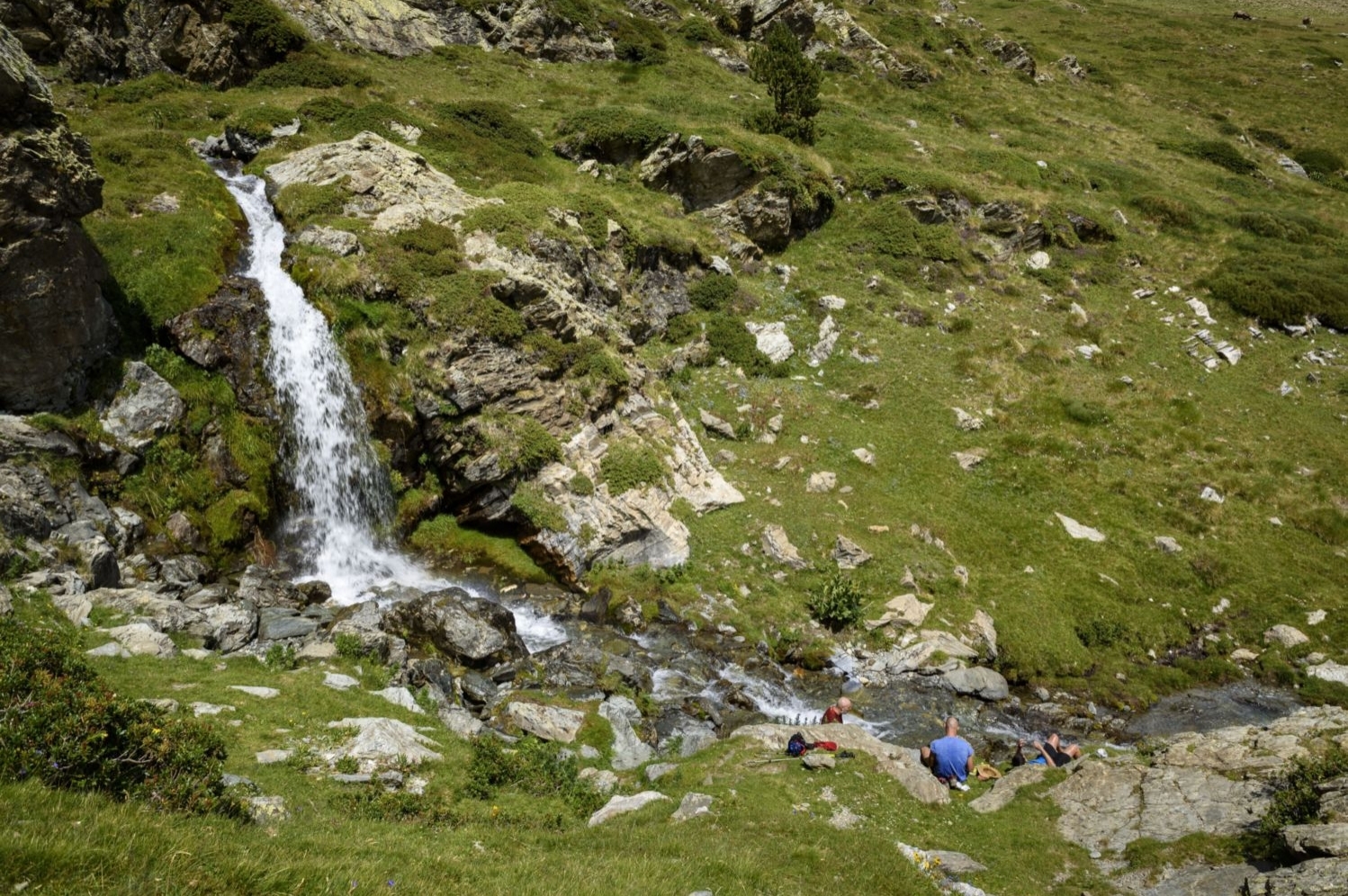
You will go through a small waterfall where you may find someone taking the opportunity to cool off their feet. Next, you will see the Forat de l'Embut, where the torrent of water seeps through the rock.
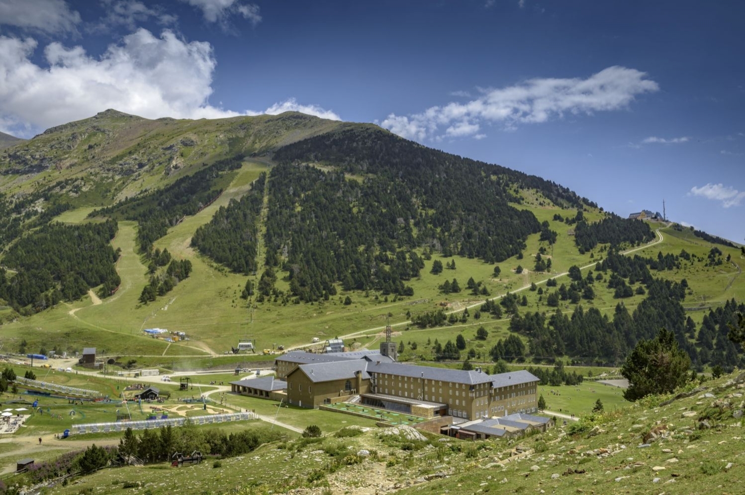
Now you will continue along its course in an easterly direction until you reach a wide meadow, known as the Pla del Ortigar, in the place of Collet Verd. You will cross it and, on the other side, you will see the Sanctuary of Núria. You will descend until you enter the small black pine forest that you will cross to the Sanctuary of Núria. Before, we will have crossed the path of Les Coves.
The Sanctuary of Núria is one of the neuralgic leisure centers of the Catalan Pyrenees. How many children will have discovered the mountain in this place? If you go in high season, in summer, you will find many people taking advantage of the day. From there, you will continue your itinerary towards Fontalba along the GR-11.8 path.
The path goes up gently, leaving the pond on your left until you reach Coll de la Creu d'en Riba (where there is indeed a cross) and a crossroads: the one that goes up from Queralbs, the one that goes to l'Agulla de l 'Estany (the Núria or Cruz de Riba viewpoint) and the one you are going to take, the one heading towards Fontalba, marked with the GR 11.8 marks and also the yellow marks of the Itineránnia trail network. You will also find some yellow marks in the form of two open circles that I do not know which itinerary they are part of (they are probably signs for the livestock route).
Now you will have to face a 100-120 meter uphill section doing zig-zag while the panoramic view of the Sanctuary and the Núria valley becomes more and more beautiful. At the end of these loops, at the comma of Les Perdius, you will leave the detour to the path of Les Coves on your right hand side and continue flattening in a southerly direction until you reach the foot of Salt dels Frares. You will go up a few more meters and cross the Coma de Gombrèn. At this point, you will come across a warning sign of the risk of avalanches in case of passing in winter.
You will continue flattening in a southerly direction and the bottom of the Núria and Queralbs valley will be seen more and more proud and spectacular, with the rack right at the bottom. On the other side of the valley, practically at the same height, you will see the Albergue del Pic de l'Àliga, on Núria.
The last section to get back to the car will be crossing the wide Cometa de Fontalba, which will take you half an hour. You will clearly see the hill with the car park on the other side of the valley, but first you will have to skirt the foranca heading west to the Torrent del Puigmal and to the spring of the Dou de Fontalba (which owes its name to the light color of the water that comes out). Finally, from this point you will only have to continue along the path between the wide meadows to the Fontalba pass and thus you will finish the itinerary of this essential and highly recommended circular route through the Eastern Pyrenees.
Author images and text: Sergi Boixadeu
You may also be interested in: Stroll through the natural parks
What to do
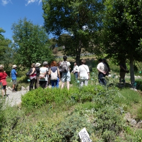
Jardí Botànic de Gombrèn
Gombrèn (a 12.8 Km)In 1995, the initiative to create a botanical garden of medicinal plants…
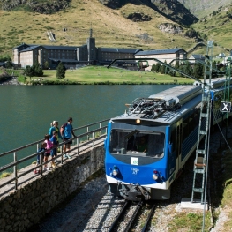
Cremallera de Núria
Queralbs (a 5.7 Km)Get to know the Núria rack railway and enjoy a unique experience…
A Pas d'Isard
Queralbs (a 5.7 Km)Self-guided mountain routes. Intensely enjoy the best trails and mountains, with everything…
Oxineu Guies de Muntanya
Ribes de Freser (a 5.4 Km)Oxineu specialises in mountain guides, adventure sports training and a ski school,…
Where to eat
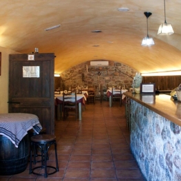
Hostal la Muntanya
Castellar de n'Hug (a 14.1 Km)Family hostel located in Castellar de n'Hug. It offers various accommodation options,…
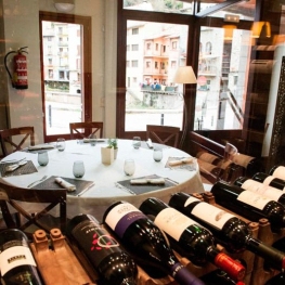
La Santa Restaurant
Ribes de Freser (a 6.8 Km)Our fires cook KM0 food obtained from the earth using traditional methods.…
Restaurant el Pont 9
Camprodon (a 17.1 Km)A restaurant serving humble and simple cuisine, where you can enjoy the…
El Recó de l'Avi
Guardiola de Berguedà (a 26.7 Km)Typical homemade cuisine, with oak-grilled meats, a wide variety of tapas and…
Where to sleep
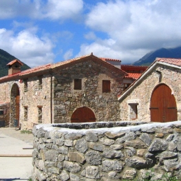
Casa de colònies Mas Cabàlies, Fundesplai
Ogassa (a 14.4 Km)Mas Cabàlies is located in the municipality of Ogassa, in the Ripollès…
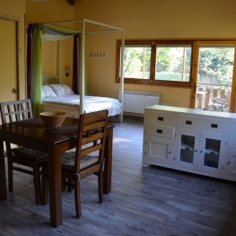
Apartaments del Bosc
Ribes de Freser (a 4.7 Km)The apartments are two semi-detached cottages located on the family estate. They…
Càmping Conca de Ter
Vilallonga de Ter (a 12 Km)The Conca de Ter Bungalows are located in the Camprodon Valley, in…

Càmping Vall de Ribes
Ribes de Freser (a 4.4 Km)Enjoy Camping Vall de Ribes, where you can immerse yourself in the…