Ascent to Mont Caro from the Caro refuge
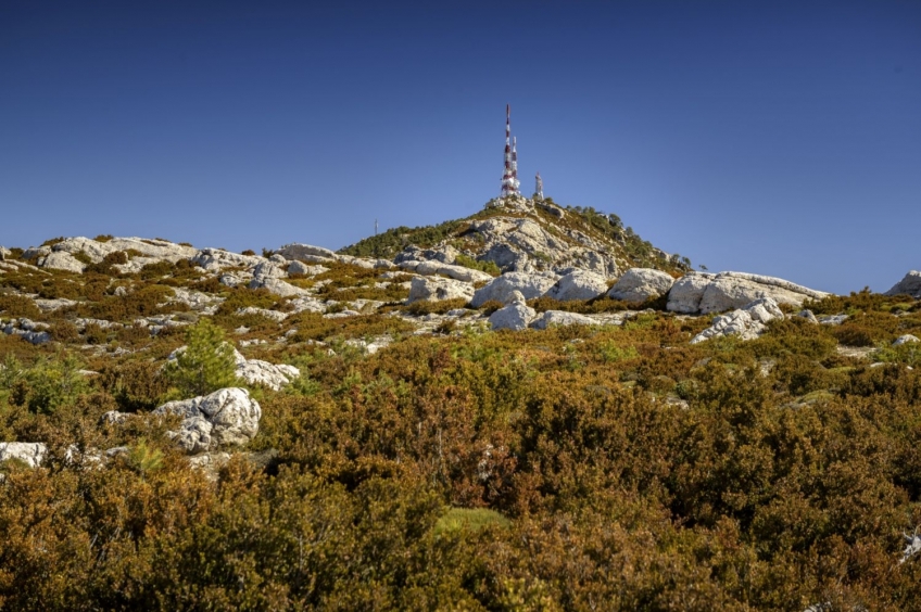
This summit without technical difficulty rises in the municipality of Roquetes, in Tarragona. From above we can enjoy atypical views of the Ebro Delta, and with a bit of luck, we can even make out the silhouette of Mallorca far out to sea.
The route describes the most classic itinerary to make the ascent to the top of Mont Caro from the Caro refuge.
- Difficulty: easy. No technical difficulties
- Slope: 47 meters of positive level
- Time: approximately 2 hours and 45 minutes
- Kilometers: 7.67km
We leave from in front of the “Pous de Neu” restaurant and we will start the route towards Mont Caro in an anti-clockwise direction (climbing it on the southern slope). During the first section of the route, we will follow the GR-7 in the direction of the Pallers pass. We start flattening along the road in a Southwest direction. We can momentarily deviate towards the UEC Mont-Caro refuge, although shortly after we will have to go back to the road. This first section can become somewhat monotonous as the GR-7 runs along a paved track.
We will pass by the Caro shelter, the L'Esquirol parking lot and the Port Restaurant. During this section we will also find blue star marks, which are from the Estels del Sud route, which goes around Els Ports. 15 minutes later, we will continue along the road on the left (direction Avellanes cave). In less than 5 minutes, we reach the pass of Carrasqueta and leave the paved track and take the path to our left (indicator post).
We begin to climb the path that runs through the shade until we reach the Pallers pass, after about 25 min. At this point, we leave the GR-7 and Estrellas del Sur and take the path to our left that begins to climb along the sunny slope towards Moleta Rodona and along the ridge to Caro. From now on we will look at the red marks and milestones to follow the path.
This dry and sunny section contrasts with the darker and more humid forest where we will have passed. We advise you to avoid the hottest hours if you are going to do the route in summer. On the contrary, if you do it in winter, keep in mind that the weather forecast, since if you take a day with a strong mistral, it can be quite uncomfortable. In any case, you will surely be compensated by the extensive views of the Ebro and Sénia lands, as well as some more distant peaks such as Penyagolosa, the highest peak in the province of Castellón.
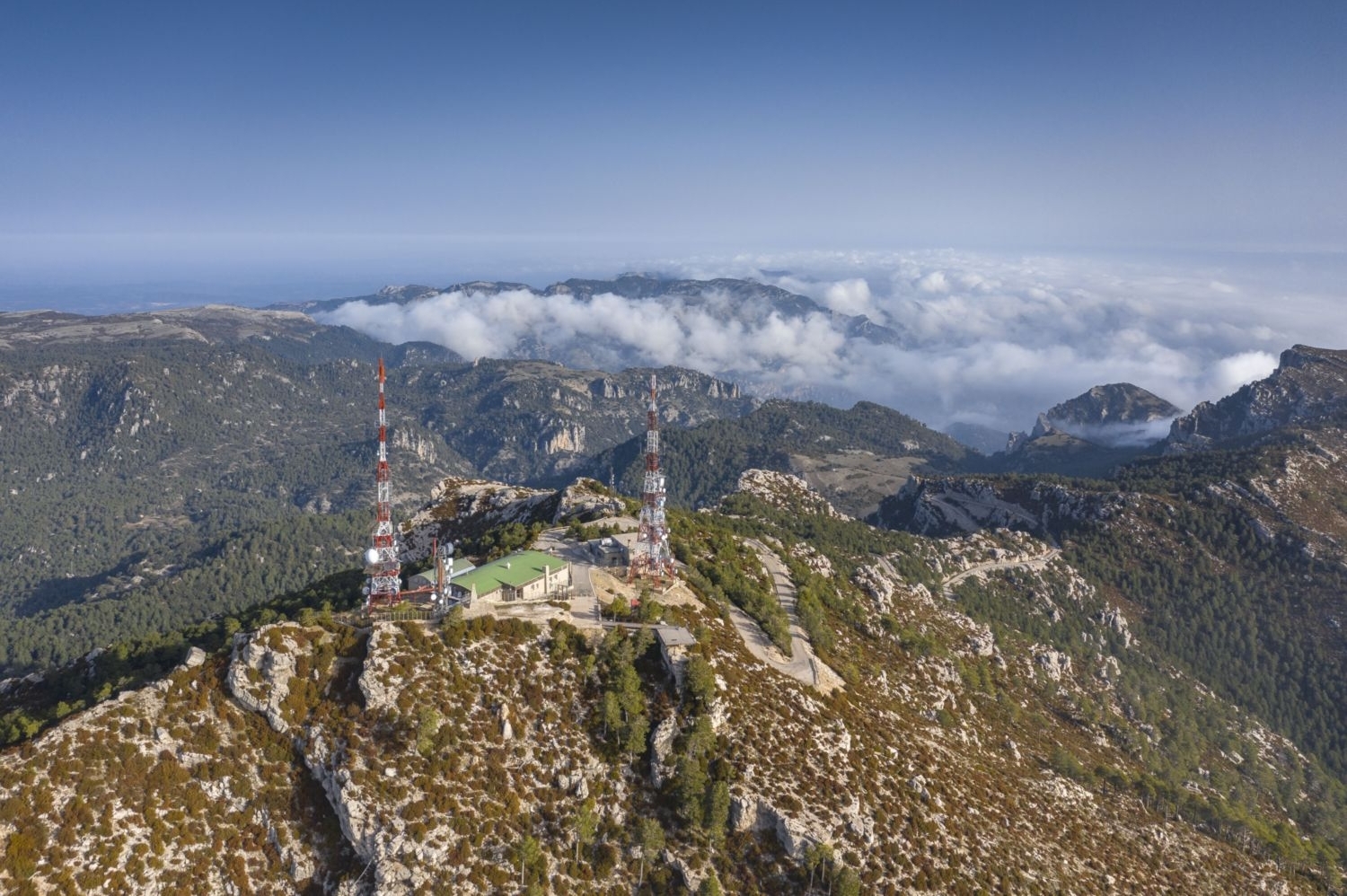
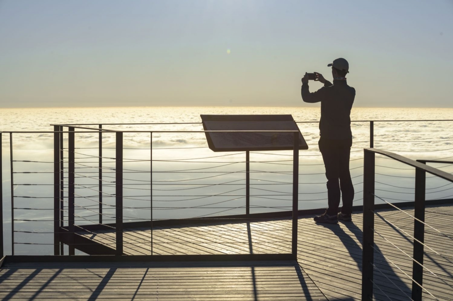
When we arrive at Moleta Rodona, perhaps you should help each other with your hands in some small drilling. We will face the ascent to the Caro bordering it first on the western slope, under some cliffs. Finally, the trail winds its way back up to the car park at the top of Caro. We will make the last meters to the viewpoint, from where we can enjoy a wide panoramic view of the provinces of Tarragona and Castellón. On clear days, we will see the Ebro Delta from an atypical perspective and, on exceptional days, you can even see Mallorca.
To get down from the top, we will do it through the northern corner of the summit through a path that cuts through the curves of the track that goes down from Caro. From near the car park, we will take a path to our left and go down towards the Collado del Vicario. At all times we will find red marks and some sticks with arrows at the crossing points with the road.
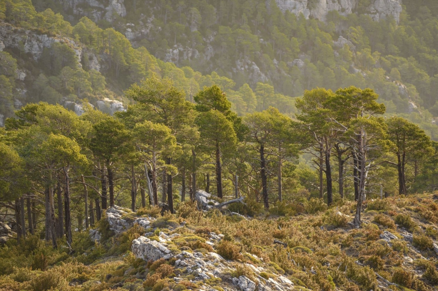
During the descent, we will find some deviations from the path that we will avoid. If we followed them, the only thing that would happen is that we would have to follow some section by road. In fact, we arrive at Collado del Vicario by taking a section of the road and, from this point, we will again take a path to our left. We will go down through a shady area of beech and red pine trees.
After about 15 minutes, we will reach the track that will take us back to the Refugio Caro de la UEC. Now we only need to continue for about 800m along the road until we reach the Restaurante dels Pous de Neu and the Refugio Caro. Halfway through, we will see the marks of the GR-171 that join us on our right.
We will finally get to the car after having completed this circular route through the highest peak in the province of Tarragona.
Author images and text: Sergi Boixader
You may also be interested in: Stroll through the natural parks
What to do
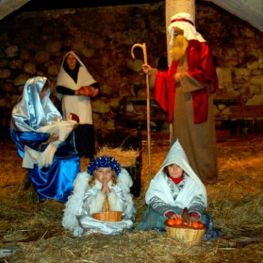
Pessebre Vivent de Jesús
TortosaLiving nativity scene represented in movement and voice, from the Catalan period…
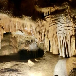
Coves de Benifallet
Benifallet (a 14.2 Km)One of the best-known tourist options throughout the territory, made up of…
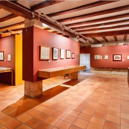
Museu Centre Picasso a Horta de Sant Joan
Horta de Sant Joan (a 21.5 Km)The Picasso Center in Horta is a permanent tribute to Picasso. Its…
Where to eat
L’Estany - Casa de Fusta
Amposta (a 23.1 Km)A restaurant serving regional cuisine, with a wide selection of the ancestral…
Where to sleep
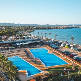
Càmping Ampolla Playa - Taiga Delta de l'Ebre
L'Ampolla (a 16.7 Km)At the gateway to the Ebro Delta Natural Park, Camping Taiga Delta…
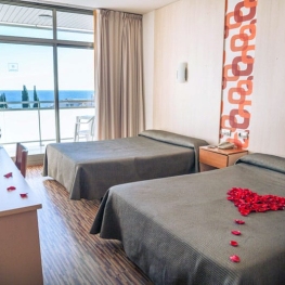
Hotel Ametlla Mar
L'Ametlla de Mar (a 25 Km)The Hotel Ametlla Mar is located on the beachfront in the town…
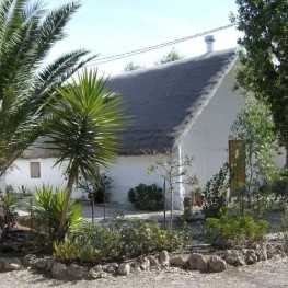
Ca la Leonor
Bot (a 23.1 Km)Rural house from 1880, renovated in 2012, preserving the original wooden beams…