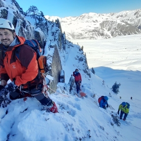
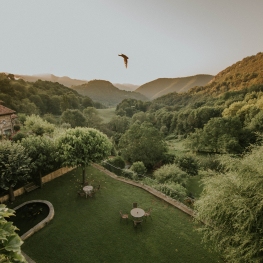
Route between the valley of Camprodon and Alt Vallespir
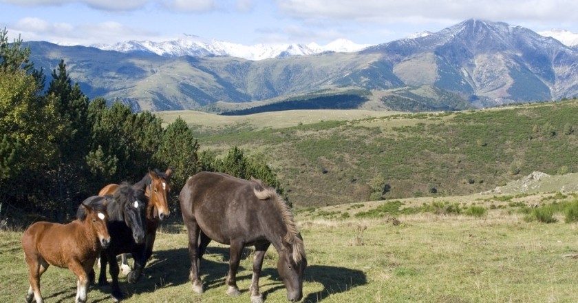
This spectacular circular route through several villages of the Camprodon Valley has a distance of 10.75 km.
The itinerary begins in Espinabell, in the church of Mare de Déu de les Neus, at the R-88 sign.
We start!
We go to Coll Pregon for a steep climb that will take us to the water tank. After the deposit we take the road in the north direction that surrounds the Sierra de Sant Joan, a small hill crowned by a cross, which dominates the town of Espinabell. We left on the right a path that would take us to the ruins of the Casal de Quelet and we already see Coll Pregon, first objective of the route.
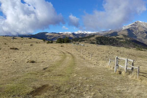 After three-quarters of an hour of climbing we arrive at Coll Pregon, sign R-90. Under our feet and at the bottom of the valley we contemplate the Presta spa, already inside the Vallespir, with the Red Cracks and the Canigó Massif as a backdrop. We continue to the right following the ridge path that will take us a few minutes in Coll de la Clapa and a little further on, after a short but steep climb, to the summit of Puig de la Clapa.
It is worth reaching this rounded summit to enjoy spectacular 360º views: From east to west and to the north, the Costabona, the Canigó Massif, the Montfalgars and the Comanegra and in the Alta Garrotxa. And towards the south, if the day accompanies us we can even glimpse the Montseny and the Collsacabra mountains.
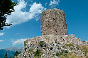 We leave the Puig de la Clapa to go to the Basses de Puigsec, signal R-91, from where, if we have time, we can arrive, following the signs of the GR-151, to the Torre del Mir. It is necessary to provide about 40 minutes between round trips.
This tower of medieval origin of the thirteenth century, played an important role in the war between the Kingdom of Mallorca, of which the former county of Vallespir was a part, and the Kingdom of Aragon. The Mir Tower was part of a set of control and communication towers that reported through smoke signals during the day or fires during the night, of possible attacks.
We descend towards Fabert, going around the Depression of the Dous and descending quickly by the back of the mountain to the stream, and next to this small mountain town.
Once in Fabert, sign R-89, you have to return Espinabell by the old road that joined these two nuclei of Molló. The road, of little unevenness, overcomes the back that comes down from the Sierra de la Perdiu and in a few minutes we have before us Espinabell.
Before, you will have to descend to the Torrent de Coll Pregon and enter the village along Calle Enllà, a group of houses located on the old Fabert road. In a few minutes we arrived at the church of Espinabell, origin and end of the itinerary.
Source: Regional Council of Ripollès
You may also be interested in: Walking routes in Catalonia | Go hiking and get to know Catalonia on foot
What to do
Oxineu Guies de Muntanya
Ribes de Freser (a 20.3 Km)Oxineu specialises in mountain guides, adventure sports training and a ski school,…
Granja de cavalls i ponis, eQuillet
La Vall d'en Bas (a 24 Km)At the eQuillet Equestrian Club, we offer a wide range of activities…
Terra de Comtes i Abats a Ripoll
Ripoll (a 24.1 Km)Terra de Comtes y Abats offers you a lot of proposals to…
Cremallera de Núria
Queralbs (a 21.8 Km)Get to know the Núria rack railway and enjoy a unique experience…
Where to eat
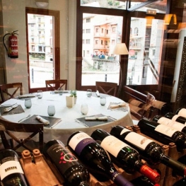
Restaurant el Pont 9
Camprodon (a 5.3 Km)A restaurant serving humble and simple cuisine, where you can enjoy the…
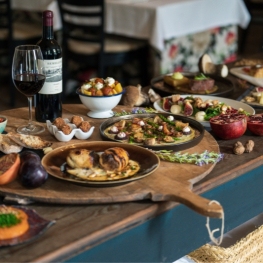
La Santa Restaurant
Ribes de Freser (a 21.6 Km)Our fires cook KM0 food obtained from the earth using traditional methods.…
Where to sleep
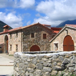
Casa de colònies Mas Cabàlies, Fundesplai
Ogassa (a 13.7 Km)Mas Cabàlies is located in the municipality of Ogassa, in the Ripollès…
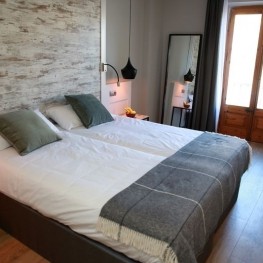
Casa Etxalde
Camprodon (a 2.8 Km)Beautiful mansion built in the early twentieth century surrounded by green meadows…
Hotel Cims de Camprodon
Camprodon (a 4.9 Km)The Hotel Cims Camprodon is located right in the center of Camprodon,…
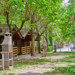
Càmping Conca de Ter
Vilallonga de Ter (a 8.3 Km)The Conca de Ter Bungalows are located in the Camprodon Valley, in…