Oliola
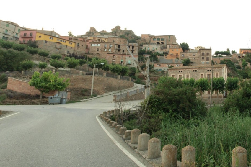
It is located on the border with Urgell and Segarra, centered on the Llobregós valley. The territory, basically made up of sandstones and red clays from the Oligocene, with conglomerates along the Segre and chalk further south, is arranged in two coastal systems, which, especially the SW, partially followed by a ramshackle anticline axis, originate small elevations (up to 671 m to the NW) that dominate the intermediate valley from 100 to 200 m. The town is on the raiguer of a hill.
Nearby routes
See all routes »- Culture and adventure in the Rialb… (a 4.4 km)
- Wine Route: Costers del Segre (a 10.7 km)
- The cheese of Montsec (a 10.7 km)
- Sanaüja route (a 11.3 km)
- Entering the valley of Sau - Collsacabra (a 11.7 km)
What to do

La Passió de Cervera
Cervera (a 24.4 Km)The Passion of Cervera is a theatrical representation of the life, death…
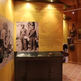
Memorial de l'Exèrcit popular
Pujalt (a 26.9 Km)The People's Army Memorial in Pujalt invites you to discover the history…
Turisme Urgell
(a 25.8 Km)Urgell, an inland region, very accessible and well connected, where you can…

Mas de Colom, Casa Borges
Tàrrega (a 23.5 Km)The former convent and farmhouse are located on the Mas de Colom…
Where to sleep

Mas Ampurdanés
La Baronia de Rialb (a 18.2 Km)It is located on the outskirts of Pallerols, in the municipality of…
Càmping Oliana
Oliana (a 24.6 Km)Enjoy an idyllic environment at Camping Oliana! Where you can stay in…
La Torre del Codina
Tàrrega (a 27.9 Km)The Torre del Codina is located in the municipality of Talladell, municipality…
Cal Guineueta
Cubells (a 18.6 Km)A late 19th-century family home recently renovated as a holiday home, close…