Masllorenç


The municipality of Masllorenç is located in the western part of the Baix Penedès region, bordering the eastern end of Alt Camp, a region to which it belonged until 1990.
The municipal area has an area of 6.6 km2 and includes, in addition to the town of Masllorenç, the aggregate of Masarbonès, as a historic center, and the Font d'en Talló urbanization as a recently created nucleus.
The territory occupied by this term is slightly rugged by the last southern buttresses of the Montmell mountain range, with an average height of between 270 m and 280 m. The soil is basically karstic and clayey. The vegetation we find is the garrigue above the forest on uncultivated lands. On the cultivated land, the dominant agriculture is dry land, with the main crops being vines, olive trees and almond trees, in order of importance.
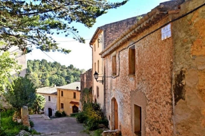
The turns of Cal Baró
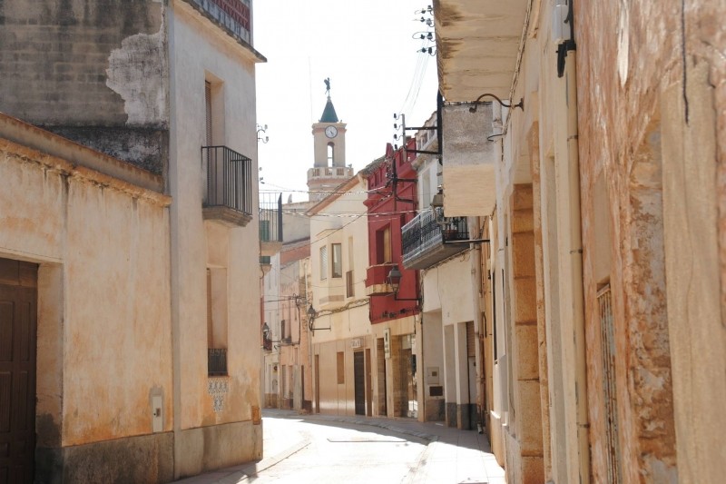
In the lower part of the town, the wide and straight streets that predominate in its urban distribution become narrow and winding, revealing the oldest settlement core. It is the area where signs of a fortified center are found that some authors place its origins in the Late Middle Ages. From this period, two pointed diaphragmatic arches are preserved in the cellar of one of the houses and a window with a semicircular arch in one of the facades.
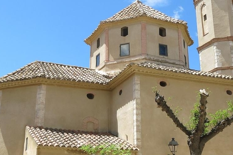
The church of San Ramon de Penyafort
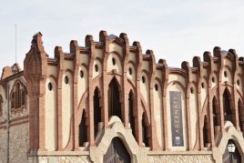
The origin of the parish church of Masllorenç must be sought in a chapel dedicated to the Virgin of the Rosary, which was built around the year 1582. Possibly in 1602 this dedication was changed to that of San Ramon de Penyafort. In 1702, the Bishop of Barcelona granted permission to expand this chapel, but the construction works are not documented until 1740, and it will not be until 1780, when Mn. Josep Verdaguer blessed the new temple. The building is made of masonry, with a Latin cross plan inscribed in a rectangle and covered with a barrel vault and dome on pendentives in the transept. The bell tower was not built in its current form until 1855, highlighting the iron angel that crowns the building and which, since the restoration of the building in 1977, has been named Llorenç. The complex is in a classicist baroque style and follows the models drawn by Brother Josep de la Concepció.
The center of Masarbones
The attraction of Masarbonès lies in the set of streets and houses that preserve the style of the different periods in which it was built, as well as in the farmhouses that stand out: Cal Martí and Cal Curt. You can also see all around the town the number of margins and barracks that were built in the past.

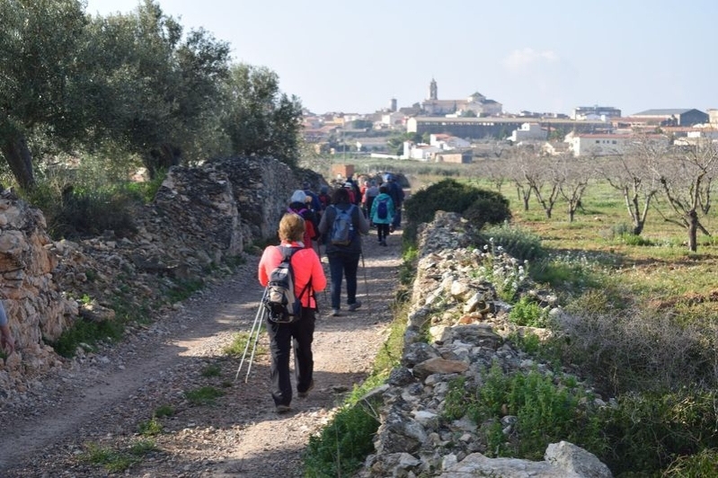
Nearby routes
See all routes »- On a route through the medieval castles… (a 1.9 km)
- A trip to the universe of calçots (a 4.1 km)
- Cistercian Route: Culture, fauna and… (a 4.1 km)
- Route through the Plana de Xim in Roda… (a 5.8 km)
- the castle fact (a 6.2 km)
What to do
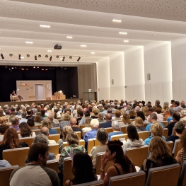
Casal Auditori La Violeta
Altafulla (a 14.8 Km)Enjoy plays, concerts, monologues and cinema, among others, at the Casal Auditori…
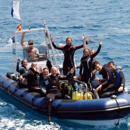
OdySea - Centre de Busseig - Diving Center
Torredembarra (a 14.9 Km)Spend a fun day with us getting to know the aquatic world!…
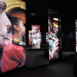
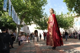
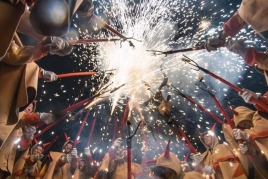
Mon Casteller- Museu Casteller de Catalunya
Valls (a 14.1 Km)Visit the Casteller de Catalunya Museum and discover the origins of the…
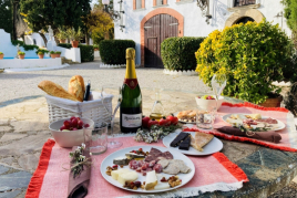
Where to eat
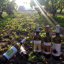
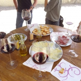
Bodega Miquel Jané
Font-rubí (a 25.7 Km)Discover the world of wine with our comprehensive viticulture and oenology courses,…
Where to sleep
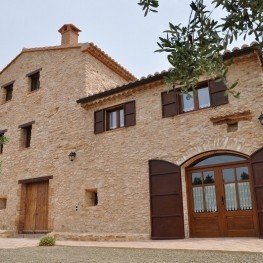
Mas Rossell
El Pla de Santa Maria (a 14.2 Km)Mas Rossell is a rural accommodation or farmhouse, located in the municipality…
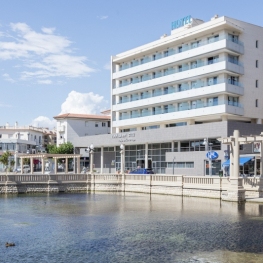
Hotel Balneari Platja de Comarruga
El Vendrell (a 13.4 Km)Spectacular resort located near the sea to enjoy the marine environment and…
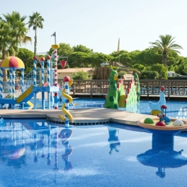
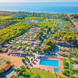
Càmping Stel
Roda de Berà (a 12 Km)Camping bungalow on the beach of the Costa Daurada, with modern facilities…
Camping Capfun Alba
Creixell (a 12.1 Km)Located on the Costa Daurada, 150m from the beaches, the Capfun Alba…

Events
Experiences
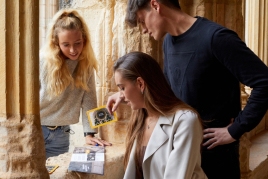
Discover the Royal Monastery of Santes Creus - single entry…
Reial Monestir de Santes Creus (Aiguamúrcia) (a 9.5 Km)
Visit with tasting to the Winery, Adernats - Nulles Winery
Adernats - Vinicola de Nulles (Nulles) (a 10.1 Km)