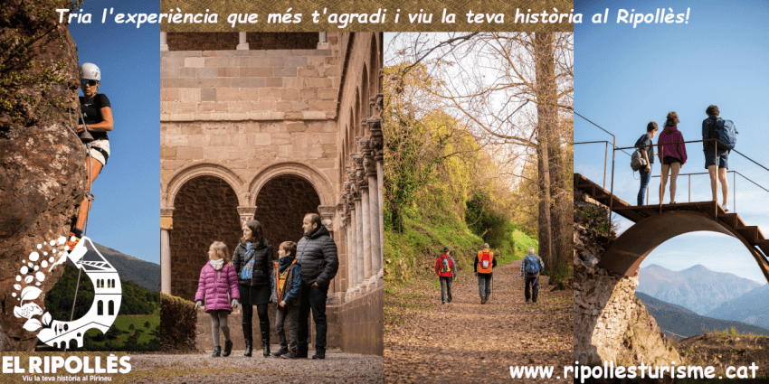
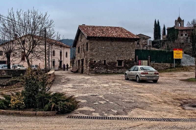
Les Llosses
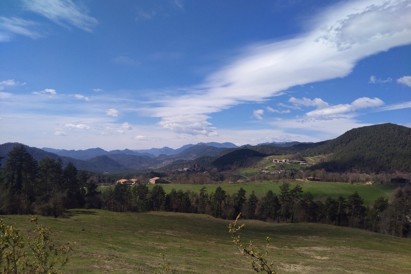


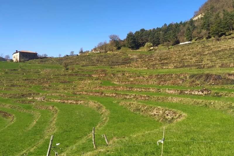


Les Llosses is part of the Ripollès region, province of Girona. The municipal area has an area of 114.05 km2 and the town is between 700 and 1,000 m. of altitude.
The limits of the municipal area are to the north with Ripoll, to the east with Ripoll and Sora, to the south with Alpens and to the west with Sant Jaume de Frontanyà.
It has the particularity of not having an urban core, and the houses and farmhouses are scattered throughout the municipal area, grouped into 8 neighborhoods – which correspond to the old parishes – and which are: Santa María de las Llosses, Santa María de Matamala, San Martín de Vinyoles, Sant Sadurní de Sovelles, Sant Esteve de Vallespirans, Palmerola, Viladonja and Farga de Bebié.
Palmerola and Viladonja were independent municipalities until they were added to Les Llosses (in 1991 and 1974, respectively).
La Farga de Bebié is a textile colony in Les Llosses and Montesquiu. It was founded in 1895, and was a very important population center until the end of the 90s.
It belongs to Les Llosses, the so-called enclave of the Rovires de Baix.
HISTORY
The first documented data from Les Llosses is from the year 888, in which Santa Maria de Matamala is mentioned.
The places of Les Llosses were the possession of the monastery of Santa María de Ripoll, the county of Ausona, the old village of Ripollès, the county of Besalú, the lords of Guardia or Saguardia and the lords of Pinós.
In 1830 the municipality of Viladonja was created, which was named Sant Esteve de la Riba until 1860 and, finally, from 1974, as a consequence of its demographic migration, it was added to the municipality of Les Llosses.
In 1895, the Swiss Edmund Bebié created the Farga de Bebié textile colony.
In 1991, Palmerola was added.
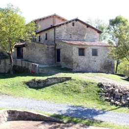
PLACES OF INTEREST
- Church of Santa Maria de las Losas
- Church of Santa Maria de Matamala
- Church of Sant Vicenç de Maçanós
- Church of Sant Esteve de Vallespirans
- Church of Sant Sadurní de Sovelles
- Sanctuary of Santa Margarita de Vinyoles
- Church of Sant Martí de Vinyoles
- Church of Santa Maria della Tremolosa
- Church of Santa Eulàlia de Viladonja
- Church of Sant Esteve de la Riba
- Church of San Felix de Estiula
- Church of Sant Llorenç del Corrubí
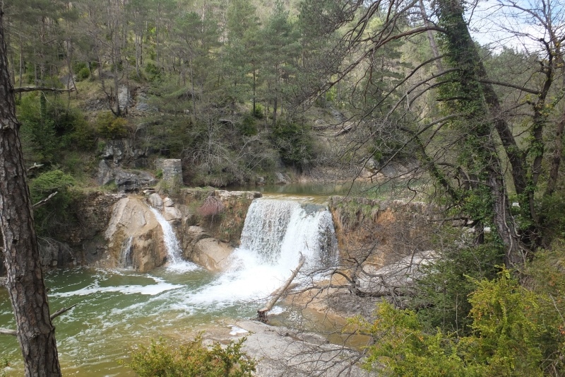
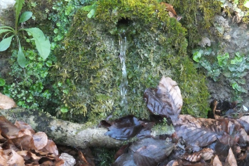
- Riera del Merlès
- Riera de las Llosses

Nearby routes
See all routes »What to do
Terra de Comtes i Abats a Ripoll
Ripoll (a 8.2 Km)Terra de Comtes y Abats offers you a lot of proposals to…
Terra de Comtes i Abats a Gombrèn
Gombrèn (a 11 Km)Land of Comtes and Abats offers you a lot of proposals to…
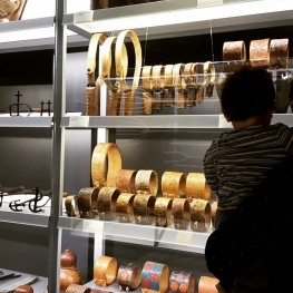
Museu Etnogràfic de Ripoll
Ripoll (a 8.1 Km)The first museum in Catalonia dedicated to ethnography. Through the Ethnographic Museum…
Where to eat
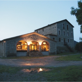
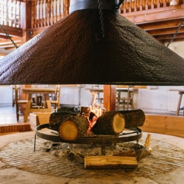
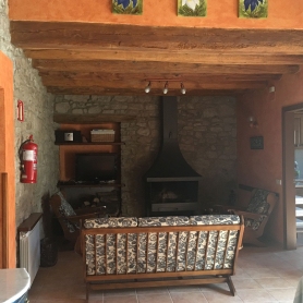
Restaurant Dachs
Les LlossesRestaurant Dachs offers versatile spaces for celebrations in Les Llosses, with rustic…
Restaurant Apartaments Els Roures
Castellar del Riu (a 26.5 Km)Rest, charm and good cuisine, a unique space located in Berguedà, at…
Hostal la Muntanya
Castellar de n'Hug (a 16.7 Km)Family hostel located in Castellar de n'Hug. It offers various accommodation options,…
Where to sleep
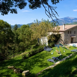
Can Masover Xic
Lluçà (a 10.1 Km)Can Masover Xic is a rural house located in the Rocadenbosch farmhouse…
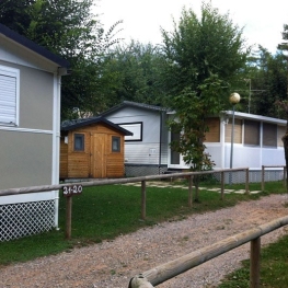
Càmping Puigcercós
Borredà (a 7 Km)The campsite stands out for its quiet atmosphere and familiar character, has…
Casa de colònies Les Codines, Fundesplai
Montesquiu (a 7.2 Km)Les Codines is located in the municipality of Montesquiu, in the Osona…
El Serradal
Sant Joan de les Abadesses (a 12.9 Km)Relax in a natural setting of meadows and forests, enjoying walks, hikes,…