The Coscollet from Aubàs (Sierra de Aubenç)
To the north of Oliana, on the right bank of the Segre, rises the Sierra de Aubenç. Towering cliffs plummet over the Oliana swamp. The Coscollet, also known as Torre de Aubenç, is the highlight.
The route begins!
We leave from near the scattered nucleus of Aubàs, through the forest track. We can leave the car in this small village, but a very barking dog advises us to leave it higher.
From the point where we left the car, we immediately take the path to the left that begins to climb with a constant and quite bearable slope. The path is not very trodden, but the yellow and blue markings that we will find almost to the top do not lead to loss. During the first section we will find an overland hose that follows the same path as us, so it can serve as a guide point as well.
We progressively climb up the Sierra de Aubàs and cross a power line and, further up, a forest track (yellow and blue markings and some milestones). Little by little, the path begins to increase the slope and we are entering the shady forest. In this section, although the needles and boxwood dominate, but higher up the majority forest is red pine (a little affected by the processionary in winter and in sunny places).
The path through the shade takes a southeastern direction until we reach a small crossroads (indicated by waypoint "Crossroads") where we continue uphill to our right. (Yellow and blue markings).
We continue going up straight in a southerly direction until we reach a forest track. From this point on, the slope is less steep and we will continue for half an hour on a gentle uphill track. We follow the mountain on the north slope in the area known as the Nargó Forest and the Obaga del Mostalla. Precisely at the darkest point we find a small beech forest.
After this section, we ignore a track that goes off to the right, less traveled. We continue climbing gently until we reach a curve where there is a crossroads. We will take the track that turns to the left and soon we will take a path that climbs to our right to gain more unevenness in less time.
The path reaches the same track but a bit higher. At this point, it is important to avoid moving on and leaving the yellow and blue marks. We will continue to the left (East / Southeast direction) for a few meters along the track and, very soon, we will take a path with milestones that will allow us to reach the track that runs along the ridge.
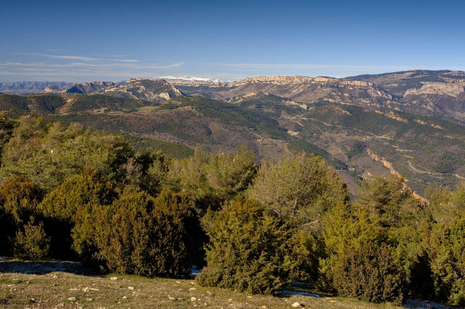
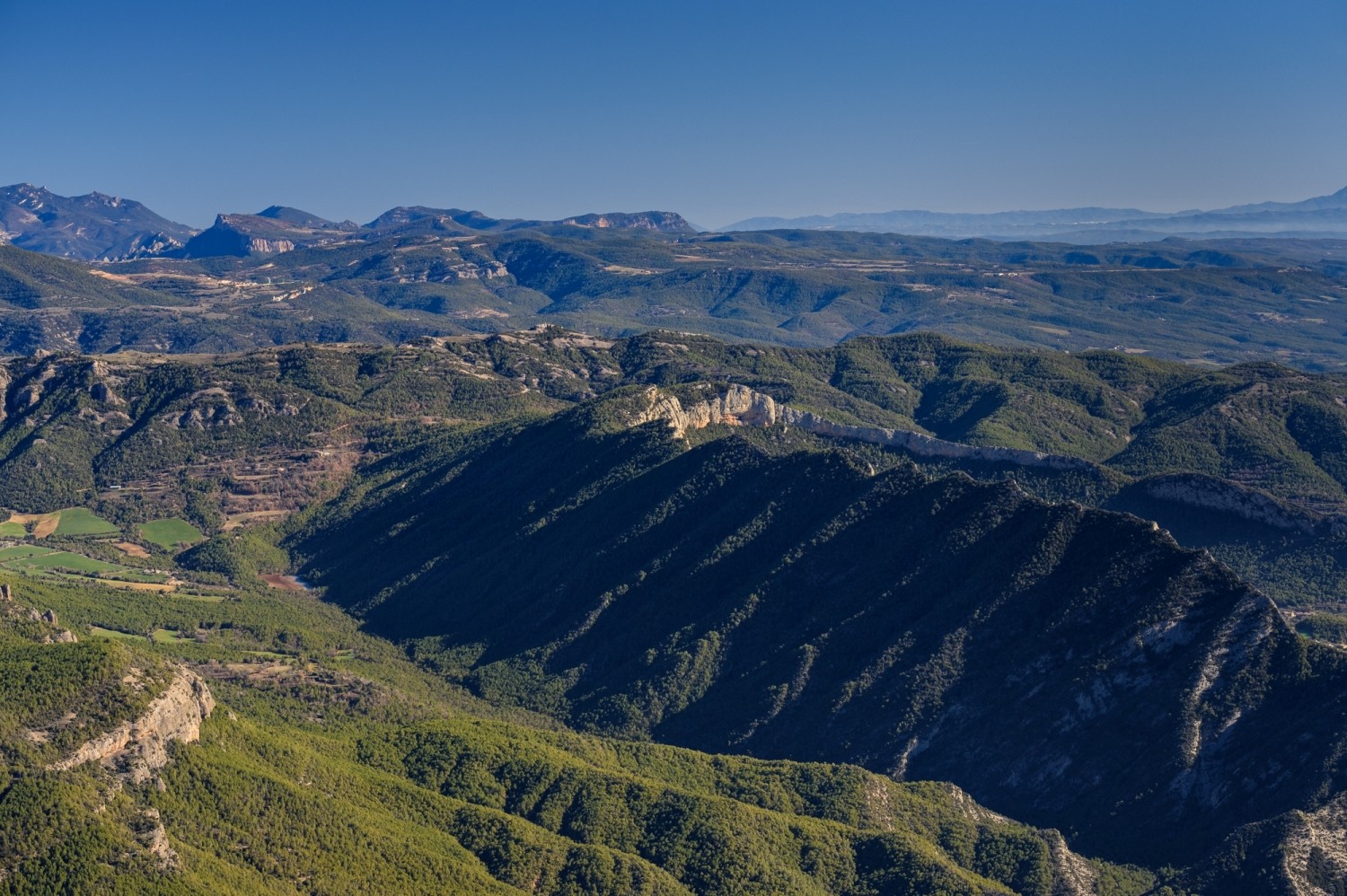
From this point, we first go to the left for a moment to enjoy an exceptional panoramic view of the Sierra de Aubenç and the next summit: the Torre de Aubenç or El Coscollet, which has a cliff that plummets 200 meters above the swamp of Oliana. An impressive prospect.
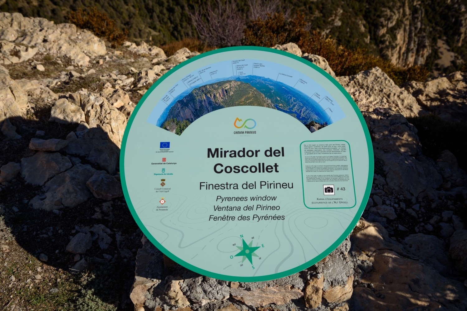
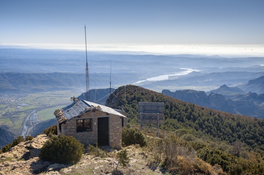
We have just reached the top by returning to the ridge track and following it until we reach the geodesic apex and the fire guardhouse. From here, if the day is clear, we will perfectly see the Oliana valley, the Rialb and Oliana reservoirs, as well as a large part of the Catalan Pyrenees and Pre-Pyrenees. On the day we went, in winter, we got to see from the Ports of Tortosa to the Pica de Estados and from Montseny to the Sierra de Guara. An exceptional panorama!
To return, we undo the way back until we reach the cotxe. North of Olinana, on the right bank of the Segre, rises the Sierra de Aubenç. By noon and especially to the east, imposing cliffs plummet over the Oliana reservoir. The Coscollet, also known as Torre de Aubenç, is the highlight.
Authorship of photographs and text: Sergi Boixader
You may also be interested in: Go hiking and get to know Catalonia on foot | Walking routes in Catalonia

What to do
Centre cultural Espai La Vansa
La Vansa i Fórnols (a 14.8 Km)Espai La Vansa is a cultural space and mountain tavern in the…
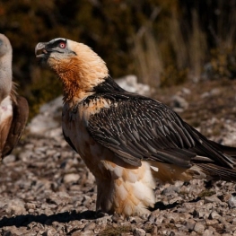
Espai Natura Muntanya d’Alinyà
Fígols i Alinyà (a 9.8 Km)Refuge for emblematic species such as the chamois or the capercaillie, the…
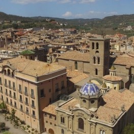

Solsona Experience, descobreix el Solsonès
Solsona (a 21.7 Km)Experiential guided tours of the Solsonès region for all audiences, groups and…
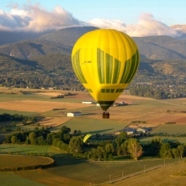
Globus Pirineu
Solsona (a 24 Km)Enjoy the opportunity and experience to discover the richness of the landscape…
Where to eat

Taverna de La Vansa
La Vansa i Fórnols (a 14.8 Km)A self-managed mountain tavern in Espai La Vansa, ideal for enjoying local…
Bar Restaurant El Jardí
Sant Llorenç de Morunys (a 23 Km)The Bar-Restaurant El Jardí de Sant Llorenç de Morunys offers traditional cuisine…
Where to sleep

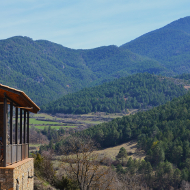
Mas Ampurdanés
La Baronia de Rialb (a 4.8 Km)It is located on the outskirts of Pallerols, in the municipality of…
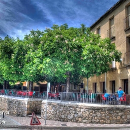
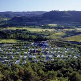
Càmping Oliana
Oliana (a 3.4 Km)Enjoy an idyllic environment at Camping Oliana! Where you can stay in…
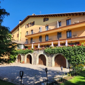
Hostal Cal Franciscó
Gósol (a 29.2 Km)The hostel is located at a crossroads that leads to different routes,…
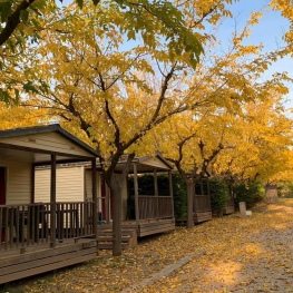
Càmping el Solsonès
Solsona (a 21.1 Km)Camping El Solsonès offers fully equipped wooden bungalows, a new camping area,…