Avinyonet de Puigventós
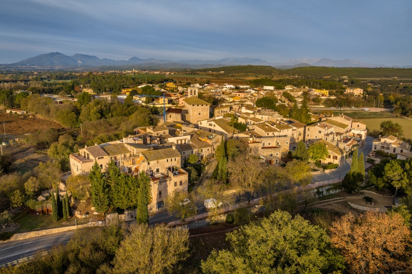
The municipality of Avinyonet de Puigventós is located almost in the geographical center of the Alt Empordà region. It occupies an area of approximately 12.3 km2 and is 70 meters above sea level. It limits to the north with the municipality of Llers, to the east with Vilafant, to the west with Vilanant and to the south with Borrassà and Ordis. It is a place of obligatory passage between the counties of Alt Empordà and Garrotxa, since the A-26 road, from Figueres to Besalú and Olot, crosses the term in an east-west direction.
Avinyonet is located right at the confluence of the Manol River with the Rissec River. Its relief is more mountainous to the north, where we find the Garriga de Empordà space, with its highest point on Mount Ventós. However, further south, its relief is characterized by the predominance of soft shapes

Nearby routes
See all routes »- The Triangle Dalinià, following the… (a 4.2 km)
- Route of the castles in Catalonia (a 4.2 km)
- Grand Tour of Catalonia - Section 4.… (a 4.2 km)
- Grand Tour de Catalunya - Section 5.… (a 4.2 km)
- The Dali Triangle (a 4.2 km)
What to do
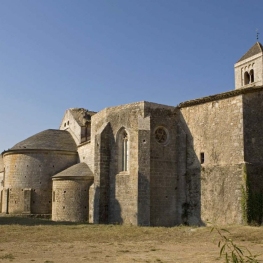
Canònica de Santa Maria de Vilabertran
Vilabertran (a 6.3 Km)Santa Maria de Vilabertran is, without a doubt, one of the best…

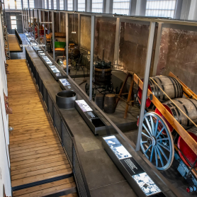
Espai Museístic Vi.Vent
Capmany (a 13.8 Km)The Vi.Vent Museum Space in Capmany is much more than an exhibition…
Where to sleep
Can Gibert Apartaments Turístics
Castelló d'Empúries (a 13.1 Km)Located in the historic centre of Castelló d'Empúries, Can Gibert offers 6…
Hostal Can Xicu
Capmany (a 13.7 Km)Can Xicu, restored in 2017, preserves the medieval feel of the house.…
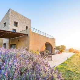
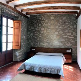
Casa Rural Mas Coquells
Vilanant (a 4.7 Km)Enjoy a relaxing holiday on the Costa Brava, in the countryside, on…
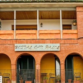
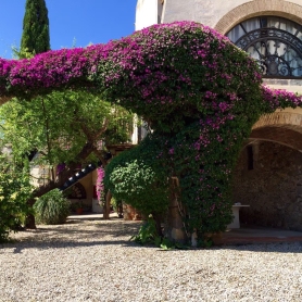
Hostal Can Palol
Peralada (a 10.2 Km)Located at the entrance of the village, just opposite Peralada Castle and…