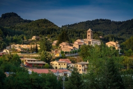
Espinelves is a charming town located in the Osona region, in the province of Barcelona. This small town is deeply rooted in Catalan history and culture, offering visitors a unique experience full of…
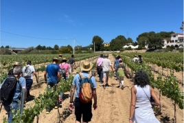
With the arrival of spring and the first buds in the vineyards, a group of 16 Cava-producing wineries participate in the seventh edition of La Primavera del Cava. On the weekends from May 4 to 26, the…
Súria is filled with culture and activities to celebrate Sant Jordi! There will be recreational and cultural activities, book stalls and roses in the street and presentations of books. For Sant…
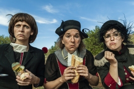
The't Culture Program starts from February to June in Alcarràs! We present the new culture programming for the season from February to June 2024 in Alcarràs with a selection of shows from…