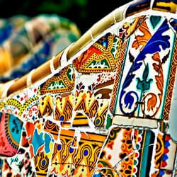
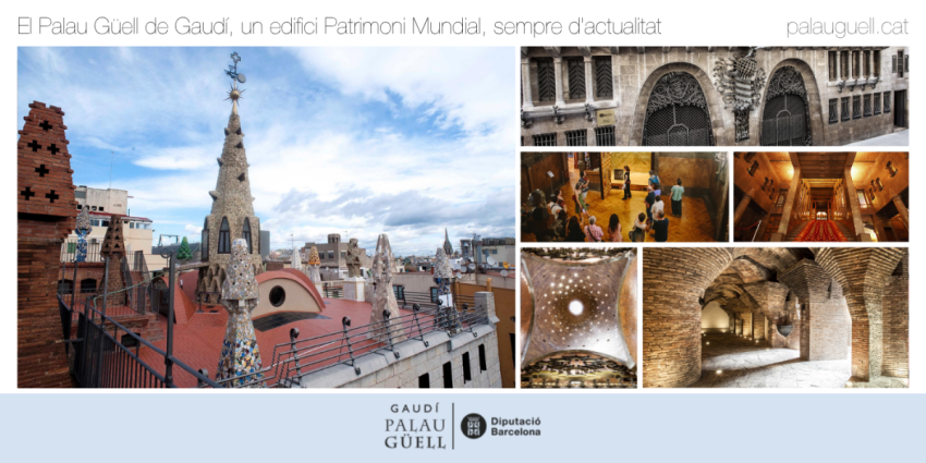
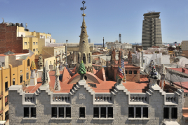
A spectacular rooftop with multi-colored chimneys - Barcelona Provincial Council In 2024, it will be 40 years since UNESCO recognized the exceptional value of Palau Güell by declaring it a…
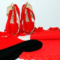
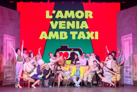
After 45 years of making theater a popular festival, La Cubana returns to Barcelona with a new show filled with humor, color, and, as always, a generous dose of playfulness. Their new production, "L'amor…
Vila-seca presents a program with seventy diverse proposals for all audiences, which are part, above all, of the calendar of the municipality's three main cultural venues: the Vila-seca Winery, the Josep…
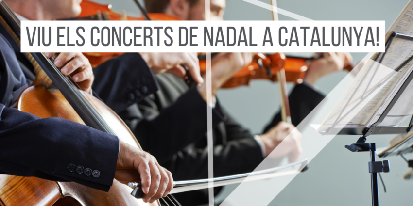
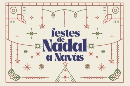
And with December come the Christmas festivities in Navàs! Get ready to experience days full of magic, excitement and tradition. Once again this year, you can enjoy the traditional "CHRISTMAS DANCE,"…