Circular route through the Cingles de Vallcebre
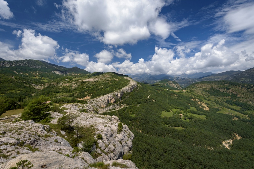
A classic circular route with good views of Alt Berguedà following the PR-C 128. This path goes around the municipality of Vallcebre through a long cliff with good views of Alt Berguedà.
- Difficulty: Low. No special difficulty.
- Unevenness: 462 meters of accumulated ascent.
- Time: Between 3h and 4h. Usually 3h30' - 3h45'.
- Kilometers: 13.5 km.
- Variants: We can extend the route if we start by going to the Mirador de Vallcebre, the Arctic Air Route (about 18-20 km) or we can reduce it if we only do the southern half of the cliffs and the detour of the track that goes up from Sant Corneli, we choose to return to Vallcebre via the Tossal Llisol.
How to get
We need to go to the core of Vallcebre. To get there, we follow the B-401 from the road turning from Guardiola de Berguedà to Saldes.
We leave from within the town, in front of the church and first go up the road to the end of the town where we turn onto a path to the left, indicated by a signpost. We go in the direction of the hermitage of Santa Magdalena.
We continue along the forest track and pass by the Can Ponç y la Font rural tourism house and the Belians wash house. We continue towards a crossroads where there is a cross on a stone, the Creu del Collell. We take the trail in the middle (where the signpost is) and soon after, the trail turns off the forest trail and breaks off to the left. We cross a small stream and from there we begin the ascent towards the hermitage of Santa Magdalena.
After about ten minutes, we arrive at this hermitage, a modest construction surrounded by Scots pine forest. We are in the shade of Boixeder de Vallcebre and this is perceived in the wooded environment full of boxwood.
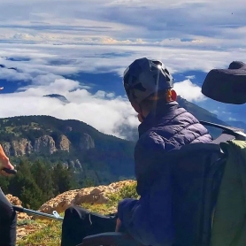
The path goes down a few meters in an easterly direction, to face a final ascent to Grao de la Mola, the point where we begin our return to Cingles de Vallcebre. The path, from now on, will go uphill near the cliffs and we will see an almost integral perspective of the entire Alt Berguedà, first to the south (from where we are now), and later to the north and west, in the direction of the Pedraforca.
From Grao de la Mola, we continue to the left, heading east towards Grao del Boits. The grades are different cracks and small paths through which the Cingles de Vallcebre could be climbed on foot. After crossing a power line, we will reach a first point with good views, shortly after Grau del Sastre.
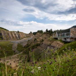
Further on, the path now continues quite close to the cliff and in a less wooded area, which will allow us to have better views from our height. After a few minutes, we arrive at Pla de la Barrumba. From here, we continue along a forest track to Plans de Cal Menut. This entire area is practically devoid of vegetation due to the erosion of the gullies in the land, but also due to its proximity to the Cercs Thermal Power Plant.
In the plains of Cal Menut we find the track that goes up from Sant Corneli and the detour to the left that would take us back to Vallcebre through the Tossal Llisoi. We continue along the track to the right that passes through Cal Menut.
After passing the farmhouse, we continue along the path to Grau del Jou, a point with great views towardsGuardiola de Berguedà. Now we turn left to return to the path and continue north near the cliff to Grao de Sant Climent. We reached this point after about 20 minutes and after overcoming a small climb. Once again, we have good views of the Llobregat valley.
Now, the path turns to the left, heading Northwest, and returns to the forest track that we had left behind after Cal Menut. We will follow the track for only half a kilometer as the path veers off to the right again to face the descent towards La Foradada.
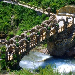
This section of descent is one of the most beautiful of the entire route, with the view of Pedraforca in the background and the entire crest of the Cingles de Vallcebre in front of us. The road goes down the side until it reaches the Pont de la Foradada, a spectacular gorge that is also visible from the Saldes road.
We cross the bridge and continue, now going up, along the crest of the cliff until we reach the Cap Deig viewpoint, in about 20-25 minutes. From here, we can see the entire route made by the Cingles backwards, which ends at this point.
We only need to return to Vallcebre. We follow the track that leads to Barceloneta on the right hand side and thus save us going back on asphalt. After about half an hour, we will arrive at the intersection towards the houses of Cal Batlló and Cal Sastre. Although the PR-C 128 in theory goes along the track that goes up to the right, we continue along the track that goes down to the left. It gives a little more turn but the difference is little.
From this track, we reach Vallcebre through Calle Mayor and, from here, we reach the starting point of our route.
Photographs and text authorship: Sergi Boixader
What to do


Jardins Artigas
La Pobla de Lillet (a 14 Km)The Artigas Gardens, designed at the beginning of the 20th century by…
Guies d'Arrel
Berga (a 11.6 Km)Guías d'Arrel is a company dedicated to providing support to nature, with…
Centre d'interpretació Dinosaures Fumanya
Cercs (a 3.5 Km)Discover the Fumanya Dinosaurs Interpretation Center and travel to the past in…
Where to eat
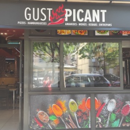
Restaurant Gust Picant
Berga (a 11.5 Km)At Gust Picant, you can enjoy affordable menus with a wide variety…
El Recó de l'Avi
Guardiola de Berguedà (a 5.8 Km)Typical homemade cuisine, with oak-grilled meats, a wide variety of tapas and…
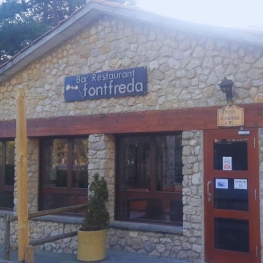
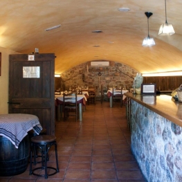
Restaurant Font Freda
Castellar del Riu (a 10.5 Km)A restaurant offering a wide selection of Catalan dishes, especially notable for…
Where to sleep
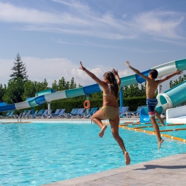
Berga Resort
Berga (a 12.6 Km)Tourist and sports center located in the Catalan Pre-Pyrenees (700 m high)…
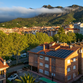
Hotel Estel
Berga (a 12.2 Km)Hotel Estel, your refuge in Berga to discover the most authentic Berguedà!…
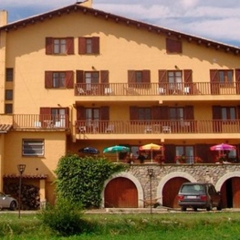
Hostal Cal Franciscó
Gósol (a 13.3 Km)The hostel is located at a crossroads that leads to different routes,…