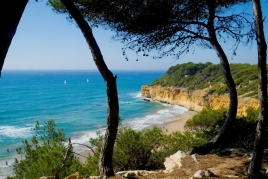
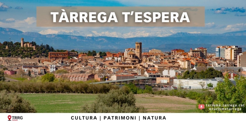
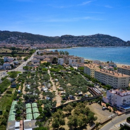
The bay of Roses from an eagle's eye view
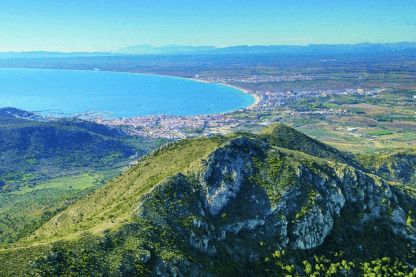
This is a very typical hiking route in the Alt Empordà region due to the magnificent views it offers us. Once at the top of Puig de l'Àliga (463 meters), on one side you can see to the south, the beautiful bay of Roses, and if we turn to the north, we can see the Port de la Selva between the valleys. and mountains of the Cabo de Creus Natural Park.
- Difficulty: Medium
- Distance: 7 kilometers
- Time: 2h 30m
- Elevation: 461 meters
We will leave from in front of the Rescator padel club of Mas Oliva de Roses. We will climb gently along a track that goes into the Alzeda valley. Just before reaching the farmhouse that gives its name to the valley, at a bend in the path, we will find a huge olive tree planted several hundred years ago. We will arrive at the farmhouse (uninhabited and in ruins), some sheep and goats grazing its meadows give life to this lonely space. The path climbs steeply flanking a cork oak forest of fairly large oaks.
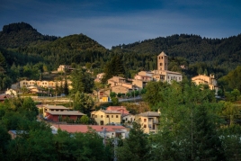
Soon we will have a good view of the valley and the town of Roses. We go up the path and we will arrive at the Can Causa plain, another farmhouse in rubble in an imposing setting. The first thing that catches our attention is the spherical dome of the military base that crowns the Puig del Pení (607 meters), the highest point in the Roses and Cadaqués area. To the north, bordering the towns of Palau-Saverdera and Selva de Mar, San Salvador (670 meters) is the highest peak in the Sierra de Rodes.
We will return to Ponent and climb the ridge, here the conditions for the vegetation are extremely harsh, strong winds, drought, grasses, fires, etc. The plants adopt prostrate forms and are protected between the stone blocks of the Puig de l'Àliga (463 meters). From here we can contemplate a wide view over the Bay of Roses in the South and the Puerto de la Selva in the North.
Once we have contemplated the landscape, we begin the descent. Be very careful because the first section of the descent is bad, we pass between stones and we must be careful not to stumble. Afterwards, it softens and we will go down without problems to a meadow where the cows graze calmly.
We go down the path, always in the direction of Roses, and we will meet the Riera de la Vila. We will walk along the track on the left side (that is, the stream is on the right hand side) until we reach the Mas Oliva sports area again.
You may also be interested in: Stroll through the natural parks | Walking routes in Catalonia | Go hiking and get to know Catalonia on foot
What to do
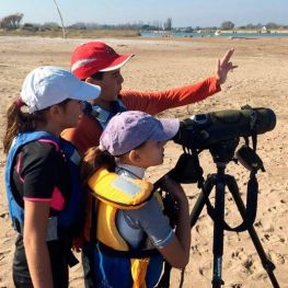
SK Kayak, Ornithocaiac als Aiguamolls
Llançà (a 12.1 Km)We will navigate in double sea kayaks, ideal for people who do…
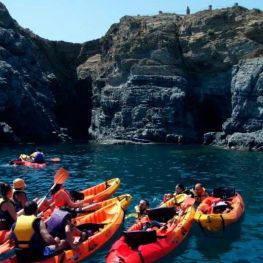
SK Kayak Escola de Piragüisme Llançà
Llançà (a 12.1 Km)We will paddle all together discovering the spectacular panoramic views over the…
Ecomuseu Farinera de Castelló d'Empúries
Castelló d'Empúries (a 8.4 Km)The visit to the Farinera will not stop surprising you. The Farinera…
Where to eat
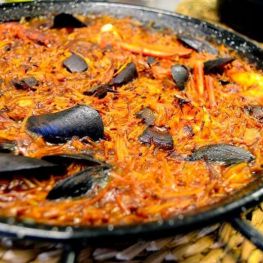
Restaurant Can Llissa
Colera (a 15.7 Km)In Can Llissa we are defenders of the slow food philosophy and…
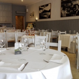
Restaurant - Hostal Can Dalfó
Torroella de Montgrí - L'Estartit (a 23.2 Km)Enjoy magnificent cuisine and a stay with sea views, at the Restaurant…
Where to sleep
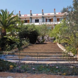
Hotel Gri-mar
Llançà (a 12.1 Km)Family hotel situated in a residential area surrounded by gardens, near the…
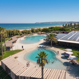
Camping Bungalow Resort & Spa La Ballena Alegre
Sant Pere Pescador (a 13.5 Km)In Ballena Alegre Camping we have a spa where you can enjoy…
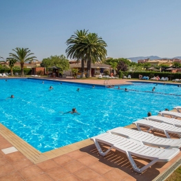
Càmping Mas Nou
Castelló d'Empúries (a 6.4 Km)Enjoy your family holidays in the heart of the Costa Brava, close…