Participate and win a stay in La Garrotxa at Hostal Sant Bernat! It is a one night stay in a double room for two people with breakfast. The prize will not be valid on bridges or holidays. Do not hesitate…
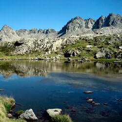
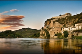
La Alta Ribagorça, located in the northeast of Catalonia, a land of contrasts where nature and history merge into a unique landscape. This region, surrounded by the high peaks of the Pyrenees,…
"Gastronomy is Culture" arrives at Sentmenat! Don't miss 3 months of events and activities to promote and publicize the gastronomy of Sentmenat and the area! This spring, Sentmenat City Council has scheduled…
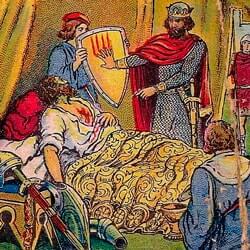
We invite you to the conference "1714. The great repression. Patriotes against Mossos", a deeply enriching session by Dr. Valentí Gual Vilà, professor at the University of Barcelona. This…